There is a moment before every project begins when the site tells the truth.
Not the version shown in the old as-built records. Not the version everyone assumes is still accurate. The real version. The slope is steeper than expected. The access path is tighter than it looked on paper. The drainage pattern that will matter later. The material stockpiles, utility conflicts, elevation shifts, and edge conditions can either support a smooth start or create a chain reaction of friction once crews mobilize.
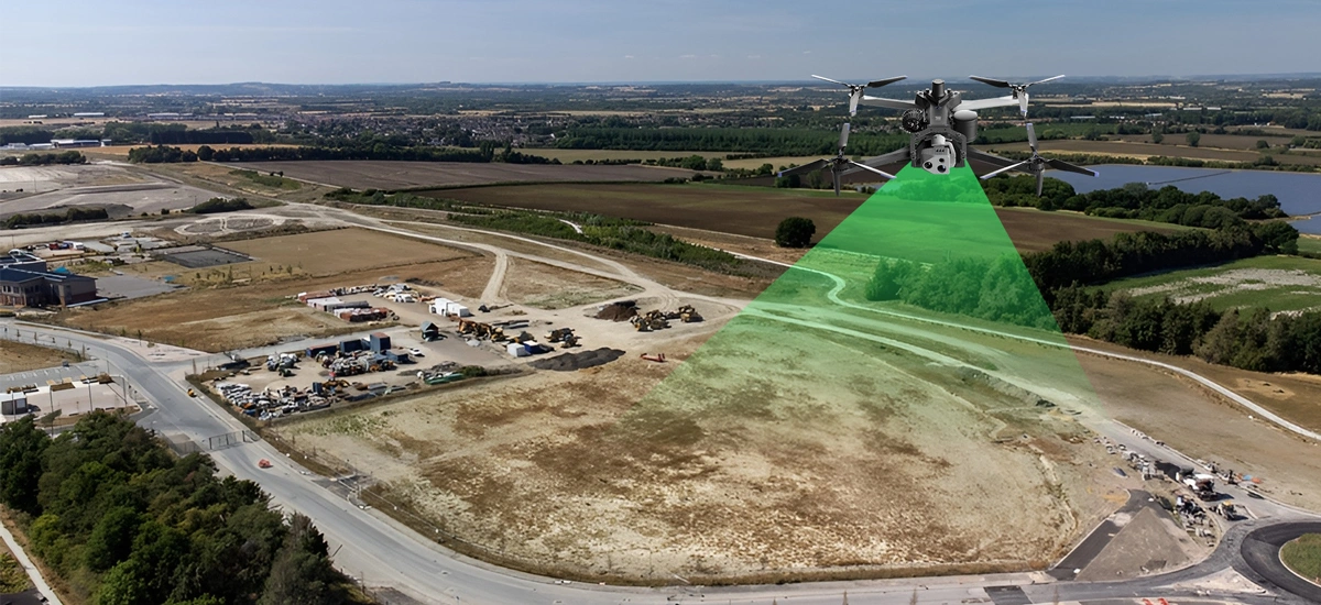
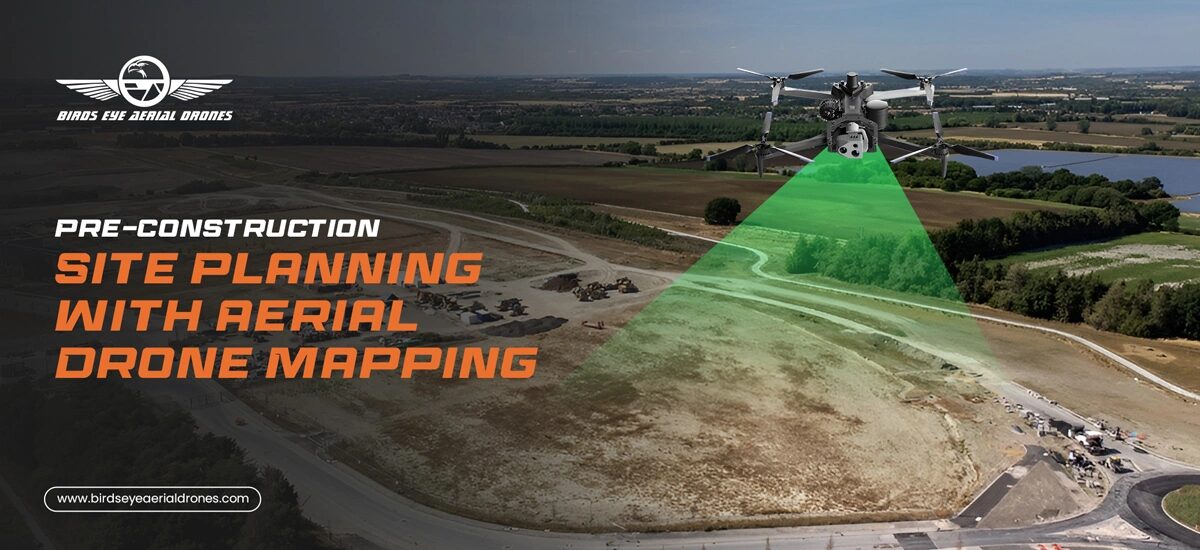
That is why pre-construction drone mapping matters so much.
Before the first trench is cut, before the earthwork and volumetrics, before the first inspection is scheduled, before the first change order becomes a conversation no one wanted to have, there is an opportunity to see the site clearly. That is where aerial drone mapping becomes more than a nice visual. It becomes a planning tool, a communication tool, and in many cases, a scheduling and cost-control tool.
For teams managing land development, capital improvement, infrastructure, civil work, or vertical construction, pre-construction drone mapping creates a current visual record of conditions before work begins. It helps stakeholders align faster, spot issues earlier, and make decisions with more confidence.
And this is no longer fringe technology. The FAA says the U.S. commercial drone fleet was approximately 966,000 aircraft at the end of 2024 and forecasts it to reach about 1.18 million by 2029. The FAA also reported 405,682 remote pilot certifications had been issued as of December 2024. Commercial operations under Part 107 can now be conducted at night, over people, and over moving vehicles when operators meet the rule’s requirements, and drones that require registration must broadcast Remote ID unless flown in a FRIA.
At Birds Eye Aerial Drones, we have seen the difference firsthand. Once a client has a clean baseline dataset before mobilization, the entire project feels different. Conversations get clearer. Risk gets easier to discuss. Documentation becomes easier to defend. And the site starts working for the team instead of against it.
Why Does This Matter Before Construction Starts?
Most project pain does not begin with a catastrophic event. It begins with uncertainty.
A superintendent is working from an incomplete context. A PM is trying to reconcile what the design assumed versus what the field shows. A stakeholder asks whether a condition was pre-existing. A client wants proof of existing conditions before disturbance. A partner needs better visibility without sending more people into the field.
That is where drone mapping for construction sites changes the rhythm of the job.
Instead of relying on scattered photos, partial observations, and outdated imagery, teams can begin with a current, high-resolution aerial dataset that captures the whole site in context. That may include orthomosaic imagery, terrain or surface models, 3D outputs, high-accuracy LiDAR mapping, progress reference layers, and visual documentation that supports planning, coordination, and future comparison.
Good planning is not just about knowing what you intend to build. It is about knowing exactly what you are starting with.
What An Aerial Mapping Deliverable Can Actually Give You?
When people hear “drone,” they often picture photography first. And yes, visuals matter. But the real power of an aerial mapping drone workflow is not just the image. It is the usable data behind it.
Depending on the project, aerial mapping drone services can support teams with:
- Existing conditions documentation
- Orthomosaic site maps
- 3D models for planning and stakeholder review
- Surface and terrain understanding
- Earthwork and stockpile visibility
- Site access and staging evaluation
- Visual reference for disputes, phasing, and closeout comparisons
This is where 3D site mapping services become especially valuable. A good 3D dataset helps teams understand how a site actually behaves, not just how it appears in a flat plan view. That matters when you are dealing with slope, drainage, laydown space, haul paths, utility corridors, or complex grade transitions.
And when the data is captured early, it creates something every project team needs more of: alignment.
Also Read: 5 Ways Drone Surveys Are Changing Real Estate Listings
The Smartest Time to Fly Is Before the Pressure Builds
One of the most overlooked truths in construction is this: the cheapest time to document reality is before the schedule gets tight.
Once mobilization begins, every field decision competes with labor, sequencing, inspections, deliveries, and deadlines. By contrast, pre-construction mapping gives teams breathing room to think clearly.
It can support:
- Owner and stakeholder alignment before kickoff
- Better planning conversations with field teams
- Documentation of pre-existing conditions
- Stronger handoff between estimating, planning, and operations
- A cleaner baseline for future progress comparisons
This matters for developers, contractors, engineers, municipalities, and property teams alike. Some clients begin by searching for real estate drone photography because they want better visuals of a parcel or development site. What they often discover is that they need more than photos. They need a site baseline that supports planning, communication, and accountability.
That is where the right provider helps move the conversation from “Can we get aerials?” to “What decisions do we need this dataset to support?”
Defensible Data Is Becoming the Expectation.
Another reason this matters now is that expectations around mapping accuracy and quality have matured.
USGS notes that the updated ASPRS positional accuracy standards increased the minimum number of checkpoints for product accuracy assessment from 20 to 30 and require survey checkpoint accuracy to be included when computing final product accuracy. ASPRS has also expanded best-practice guidance for photogrammetry and UAS mapping workflows.
That matters because pre-construction mapping should not just look impressive. It should be structured, documented, and fit for purpose.
Not every project needs the same level of rigor. But every project benefits from knowing what level of rigor is required before the flight happens.
What To Look for in Aerial Drone Mapping Services USA Teams Can Trust?
There are a lot of providers offering aerial drone mapping services that USA clients can hire. The difference is not just who owns the aircraft. The difference is who understands the project environment.
The right team should understand that pre-construction planning is not about flying for the sake of flying. It is about creating a useful deliverable that fits the job.
That means asking questions like:
- What will this dataset be used for?
- Who needs to review it?
- Does the client need a visual baseline, measurement support, or both?
- Will the output support planning, design coordination, owner communication, or progress tracking?
- Is the deliverable being used alongside licensed survey work or engineering review?
Many buyers also search for drone property surveys or drone land surveying when they are trying to solve early planning problems. In practice, drone data is often most powerful when it supports the broader project team with current site visibility and documentation. If a project requires licensed surveying deliverables, that should be coordinated appropriately. The smartest workflows respect both speed and professional standards.
A Better Start Changes the Whole Project.
There is something reassuring about seeing a site clearly before work begins.
It lowers the emotional temperature.
It strengthens communication.
It helps owners, PMs, engineers, and field teams work from the same picture.
And it reduces the odds that a hidden condition becomes tomorrow’s expensive surprise.
At Birds Eye Aerial Drones, we believe the best drone work does not just capture what is there. It helps people move forward with more clarity, more confidence, and fewer avoidable problems.
That is the real value of pre-construction drone mapping.
Not just better imagery.
Better beginnings.
Pro Tips Before You Order a Flight
Start with the decision, not the drone. Decide what questions the dataset needs to answer before capture begins.
Ask for a baseline that can be reused. The best pre-construction data becomes useful again during progress tracking, dispute resolution, and closeout.
Clarify whether you need visual documentation, measurement support, or survey-grade coordination. Those are usually not the same thing.
Plan for delivery early. Naming, formats, map views, cloud access, and turnaround should be discussed before the mission.
Do You Need Pre-Construction Drone Mapping?
If your team is preparing for a project and wants a clearer view of existing conditions before work begins, Birds Eye Aerial Drones can help you create a smarter baseline.
Because the earlier you understand the site, the easier it becomes to protect the schedule, communicate clearly, and build with confidence.