At Birds Eye Aerial Drones, we deliver federal-ready aerial and geospatial services in support of government programs requiring accurate data, disciplined operations, and regulatory compliance. We bring experience supporting local, state, and federal agencies, including the U.S. Environmental Protection Agency (EPA), City of San Diego, County of San Diego, and City of Los Angeles.
Birds Eye Aerial Drones is a GSA Multiple Award Schedule (MAS) contract holder, enabling streamlined acquisition of our services through established federal contracting pathways. Our work is executed in accordance with FAA regulations and federal assurance requirements, ensuring reliability and low operational risk.
Our services support programmatic and task-order–based operations, including unmanned aerial systems (UAS) operations consulting, pilot-in-command services, environmental monitoring, infrastructure inspections, mapping and survey support, and aerial progress documentation. These capabilities are delivered as part of recurring, on-call, or scheduled operational support aligned with agency mission needs.
Safety, compliance, and sustainability are foundational to our operations. Our team adheres to all applicable local, state, and federal requirements, with established risk mitigation, QA/QC processes, and aviation safety protocols. This approach enables government clients to deploy aerial capabilities with confidence while maintaining environmental and operational integrity.
Birds Eye Aerial Drones supports government agencies and prime contractors seeking a trusted, compliant, and experienced aerial services partner. We engage through GSA task orders, IDIQs, and teaming arrangements to meet mission requirements efficiently and effectively.
Federal-ready aerial and geospatial services
GSA MAS holder • Proven EPA past performance • FAA Part 107 • NDAA-compliant • $10M aviation insurance
-
GSA MAS Contract Holder
Streamlined federal acquisition -
Government Past Performance
EPA & municipal programs -
FAA Part 107 Certified
Compliant UAS operations -
NDAA-Compliant Operations
Secure supply chain -
$10M Aviation Insurance
Risk-managed execution
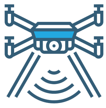
Government Aerial Drone Services


Pilot-in-Command Services

On-Call Marketing

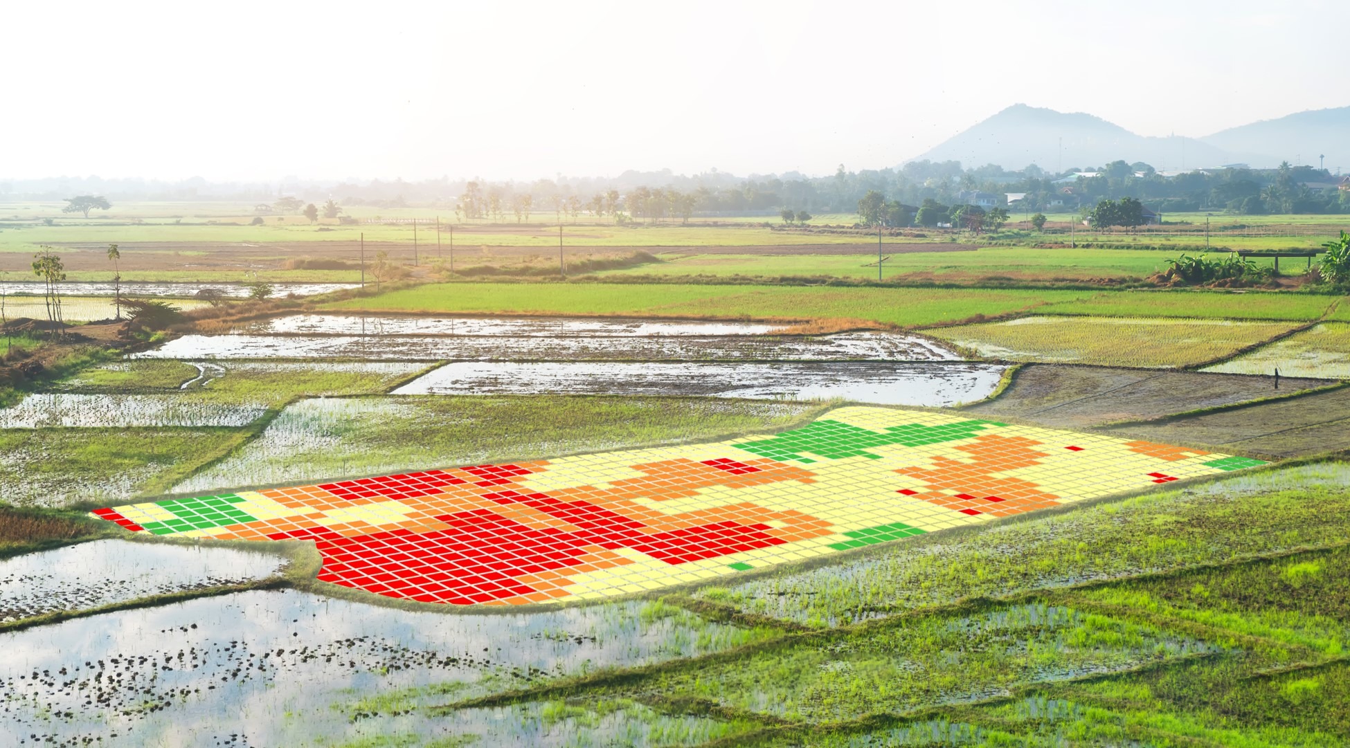
Environmental Support

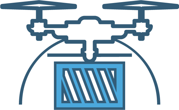
Inspections, Mapping, Volumetrics & Orthomosaics

Survey & Survey Support

Aerial Progress Photography & Time-Lapse

Smart City Solutions

UAS Equipment Purchasing & Personnel Training

Emergency Responder & Law Enforcement Government Contracts

Aerial Photography & Videography
Engineering, Construction & Infrastructure Government Contracts
GSA MAS Capability Statement
Birds Eye Aerial Drones, LLC (BEAD) delivers mission-ready unmanned aerial and geospatial services for federal programs requiring accuracy, safety, and regulatory compliance. As a GSA Multiple Award Schedule (MAS) contract holder, BEAD enables agencies to procure critical aerial services through a streamlined, pre-vetted acquisition pathway.
BEAD specializes in validated data capture and operational assurance in regulated, high-risk environments, providing reliable inputs that support data-driven and autonomous decision workflows across infrastructure, environmental, and utility missions.
GSA Contract Information
- MAS Contract #: 47QRAA23D0094
- SIN Category: Professional Services
- Primary NAICS: 541360
- Additional NAICS: 541370, 541511, 541611, 541620
- Acquisition: FAR 8.4 Task Orders
Core MAS Capabilities
- Aerial photography, videography, and LiDAR data acquisition
- Infrastructure, utility, and right-of-way inspections
- Environmental monitoring and compliance documentation
- Emergency response and post-disaster aerial support
- QA/QC, data validation, and repeatable inspection workflows
Why Agencies Use BEAD via GSA
- Pre-priced, pre-vetted procurement through GSA MAS
- FAA Part 107–certified crews with BVLOS and night ops experience
- $10M aviation insurance and NDAA-compliant operations
- Safety Management System (SMS)–driven execution
- GIS-compatible, mission-ready deliverables
Federal buyers: BEAD is available for immediate tasking through the GSA Multiple Award Schedule, enabling rapid execution with reduced procurement risk.
Submit Your Inquiry
"*" indicates required fields
Launch Your Projects to New Heights
Launch Your Projects to New Heights
Benefits
Our team of trained drone professionals has you covered
Aerial Drone Services & GIS Insights


First and foremost, BEAD is an SDVOSB company providing turnkey aerial imaging solutions and consulting to help you improve your ROI. For example, do you require actionable aerial data for mapping & environmental monitoring? Perhaps aerial imagery for the entertainment, AEC, utility or communications industry? In fact, we’ve got just the right solution to meet your needs.
Above all, we observe all local, state & federal flight safety regulations, as applicable and are $10M insured.