
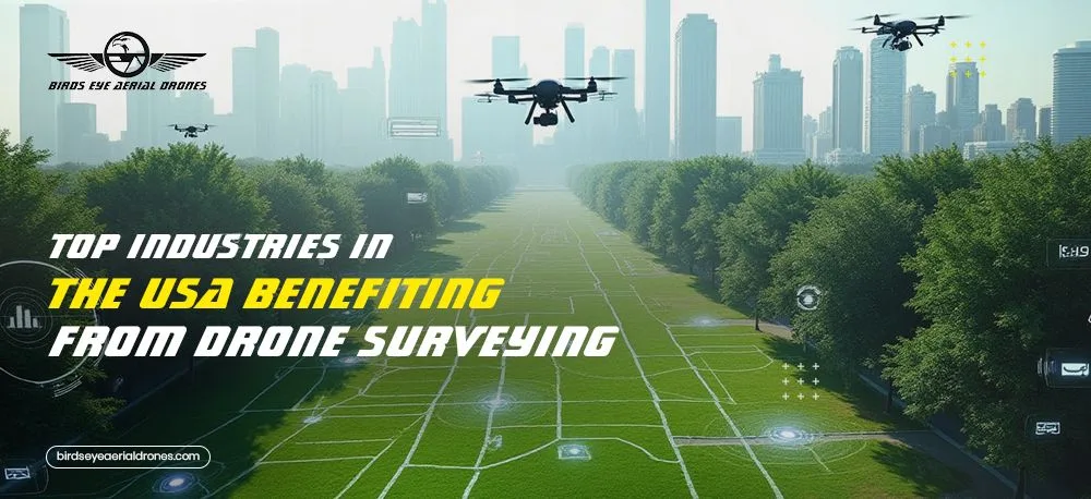
And How Leaders Like You Are Changing the Way the Nation Builds, Protects, and Grows
There’s a moment every industry leader faces—when traditional tools stop keeping pace with modern challenges.
Deadlines tighten. Risks rise. Expectations grow.
And you realize: the old way isn’t going to take you where you need to go.
That’s the moment when the journey begins.
Because more and more decision-makers across the U.S. are turning to drone surveying, not just as a convenience, but as a game-changer. And the heroes behind this shift?
You.
You’re the utility manager, tired of incomplete line-of-sight inspections.
You’re the construction lead, juggling multiple job sites and deadlines.
You’re the land planner shaping tomorrow’s communities from today’s raw terrain.
And you’re not waiting for the future to arrive—you’re flying toward it.
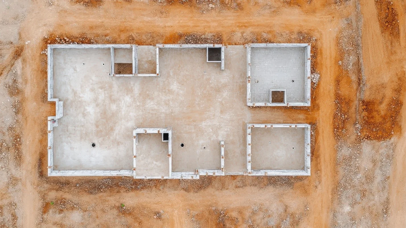
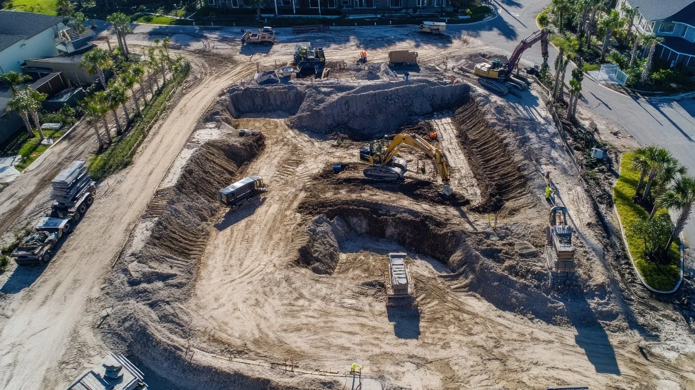
1. Construction: Building Smarter from the Sky
For builders and project managers, progress used to mean clipboards, boots in the mud, and hours on-site. Today, aerial drone surveying is changing that.
Our clients in construction are using drone surveying services to:
- Monitor job sites remotely
- Catch grading errors early
- Provide stakeholders with high-clarity updates
You’re not just breaking ground—you’re setting new standards for speed and precision.
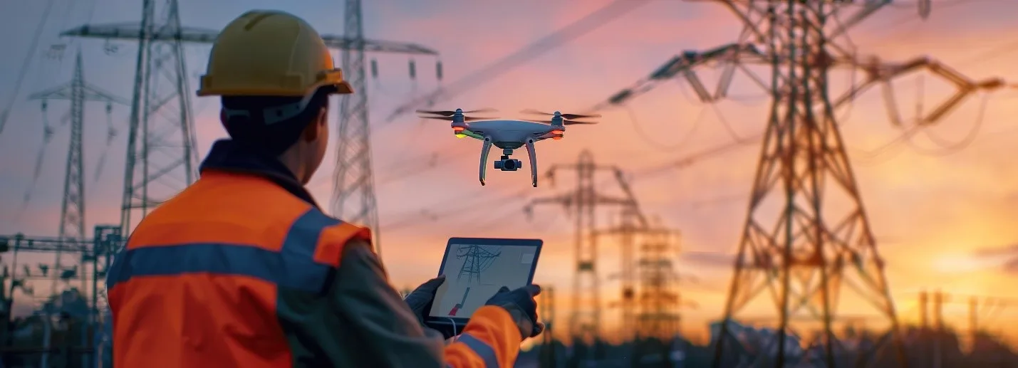
2. Utilities: Seeing Problems Before They Spark
In utility management, time is everything, and safety is non-negotiable.
Across California and beyond, we work with forward-thinking leaders who use drone surveying in California to spot faults before they fail, inspect remote substations, and reduce downtime with proactive planning.
This isn’t just an inspection. It’s protection, powered by technology.
3. Environmental Monitoring: Data That Doesn’t Disturb
If you’re in conservation, compliance, or disaster recovery, you know one truth:
You can’t protect what you can’t see.
The environmental experts we support use aerial drone surveying to track erosion, monitor wetlands, and support post-fire restoration, without disturbing delicate ecosystems.
You’re collecting critical data with clarity and care.
That’s real environmental intelligence.
Also Read: Top 5 Industries Benefiting from Professional Drone Photography

4. Infrastructure & Transportation: Laying Groundwork from the Air
From highways to railways, public and private planners are embracing drone surveying companies for site analysis, monitoring, and project documentation.
You’re using drone data to move faster, reduce costs, and document progress with transparency.
You’re not just building roads and rails. You’re reimagining how America moves.
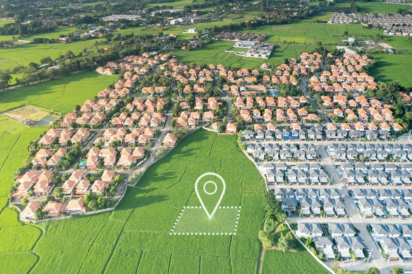
5. Land Planning, Use & Development: Designing Tomorrow’s Communities
Land planners are visionaries. You see what’s possible long before the first shovel hits the ground.
And now, with drone surveying services, you’re getting the accurate topographic data, boundary visuals, and 3D models needed to design smarter, develop faster, and make land use decisions rooted in reality, not guesswork.
Whether you’re managing permits, rezoning, or mapping a new development, you’re bringing innovation to the planning table—and drone service is your secret weapon.
Your Journey Isn’t About Drones. It’s About Vision.
At Birds Eye Aerial Drones, we’ve had the honor of walking alongside industry leaders like you, heroes who chose to rethink what’s possible.
You didn’t come to us looking for tech.
You came looking for a better way to do your work:
Faster. Smarter. Safer. With data you trust and a partner who understands your mission.
We’re not just a drone surveying company.
We’re your ally in innovation—from land use to line maintenance.
Ready to See What’s Possible?
Whether you’re in utilities, construction, land planning, or infrastructure, we’re here to help you harness the power of drone technology to meet your goals—and exceed them.
📩 Let’s talk about how drone surveying can move your mission forward.
Precision from Above. Progress on the Ground.