How Drone Imagery and GIS Are Revolutionizing Precision Agriculture
In the rapidly evolving agricultural sector, precision agriculture has emerged as a game-changer. Precision agriculture enabling farmers to maximize yields while minimizing waste. A key driver of this revolution is the integration of Geographic Information Systems (GIS) with drone imagery. This combo provides a dynamic duo that delivers detailed insights into crop health, soil conditions, and more. This blog explores how these technologies are transforming agriculture into a more efficient, sustainable, and productive industry.
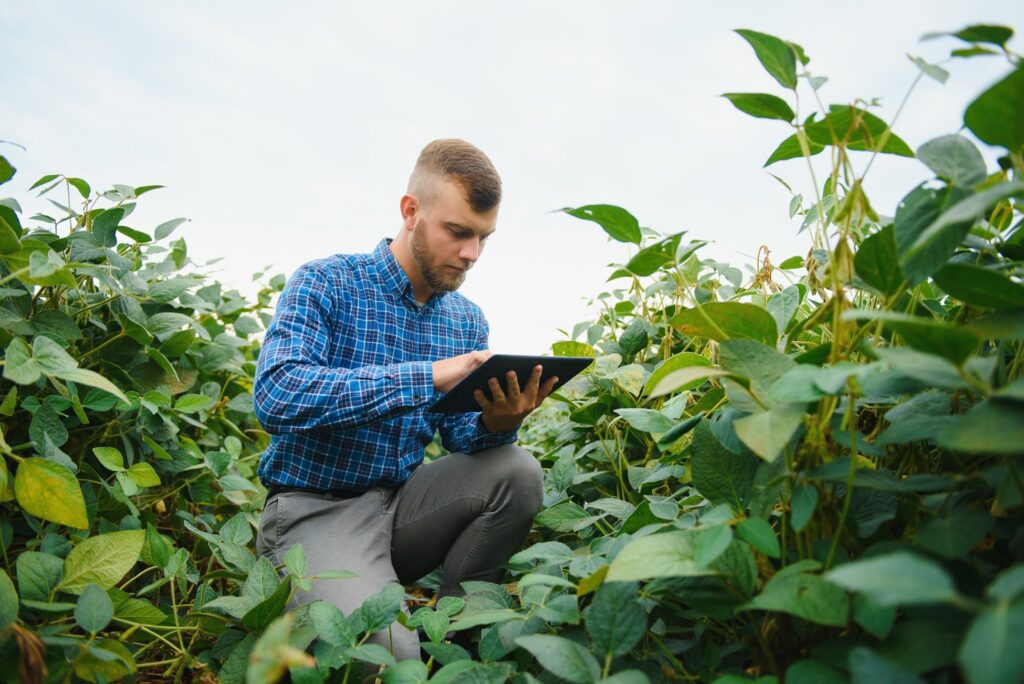
Precision Agriculture: Enhanced Crop Monitoring and Management
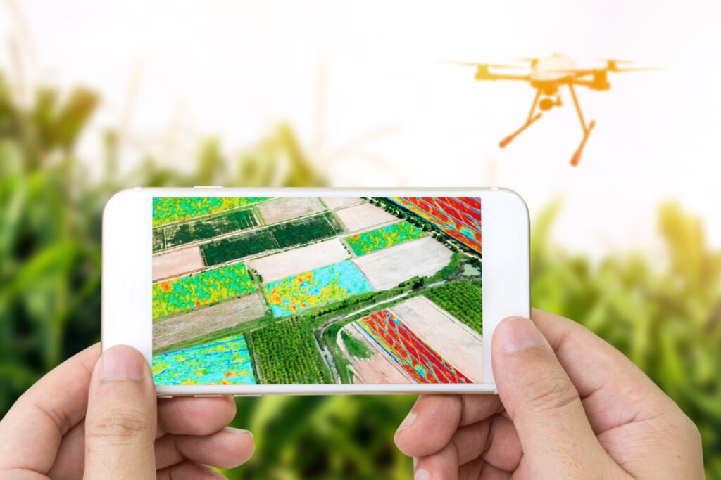
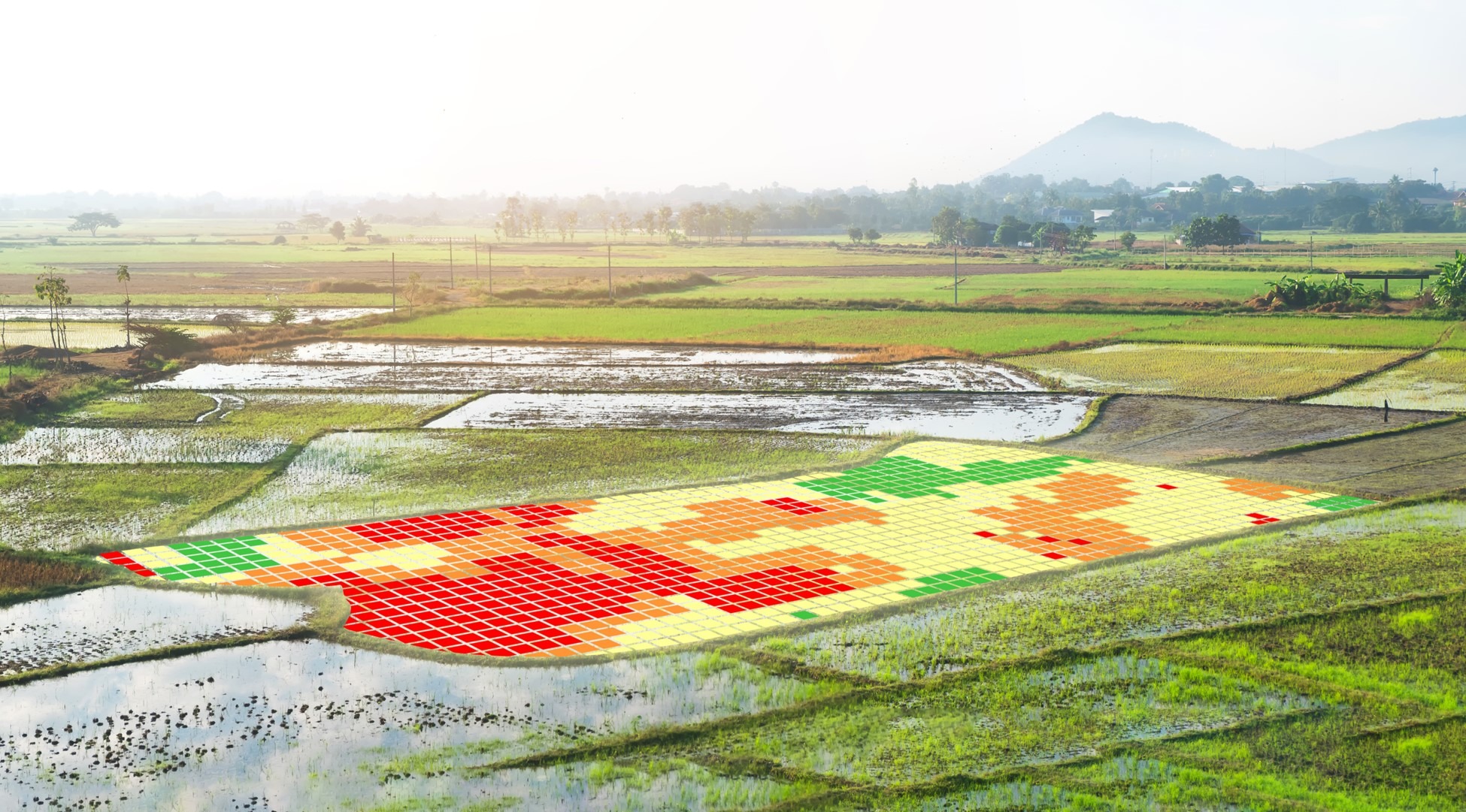
Drones equipped with advanced sensors can capture high-resolution images across vast agricultural lands. They identify variations in crop health that are invisible to the naked eye. When combined with GIS, this data allows for the creation of detailed maps highlighting areas needing attention. This enables targeted interventions such as precise pesticide application or irrigation. Better information allows farmers to make better decisions.
Optimizing Inputs for Increased Efficiency
By analyzing drone imagery within GIS platforms, farmers can assess the variability in soil conditions and moisture levels. This information is crucial for determining the optimal amounts of water, fertilizers, and pesticides. User-friendly data ensures that each part of a field receives exactly what it needs for optimal growth.

Yield Prediction, Crop Counting and Harvest Planning
The power of drone imagery and GIS analysis in precision agriculture extends to counting and predicting crop yields. Again, allowing farmers to plan better and make informed decisions about harvest timing and logistics. Ultimately, this predictive capability ensures that resources are allocated efficiently, reducing waste and maximizing profits.
Precision Agriculture: Sustainable Practices and Environmental Conservation
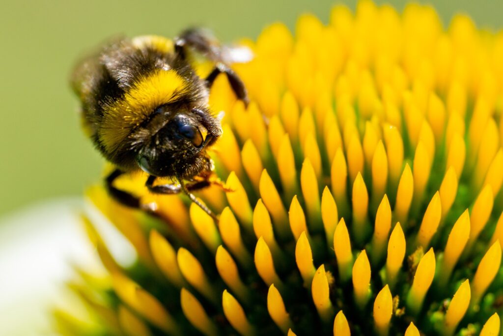
As an added benefit, precision farming is a pollinator’s best friend. Utilizing drone and GIS technology promotes sustainable agricultural practices. By reducing the overuse of water, fertilizers, and pesticides we all benefit! Lastly, lowering the cost of production as well as minimizing environmental impact, contributes to the conservation of natural resources and the reduction of carbon footprints.
Case Study: A Success Story in Precision Agriculture and Farming
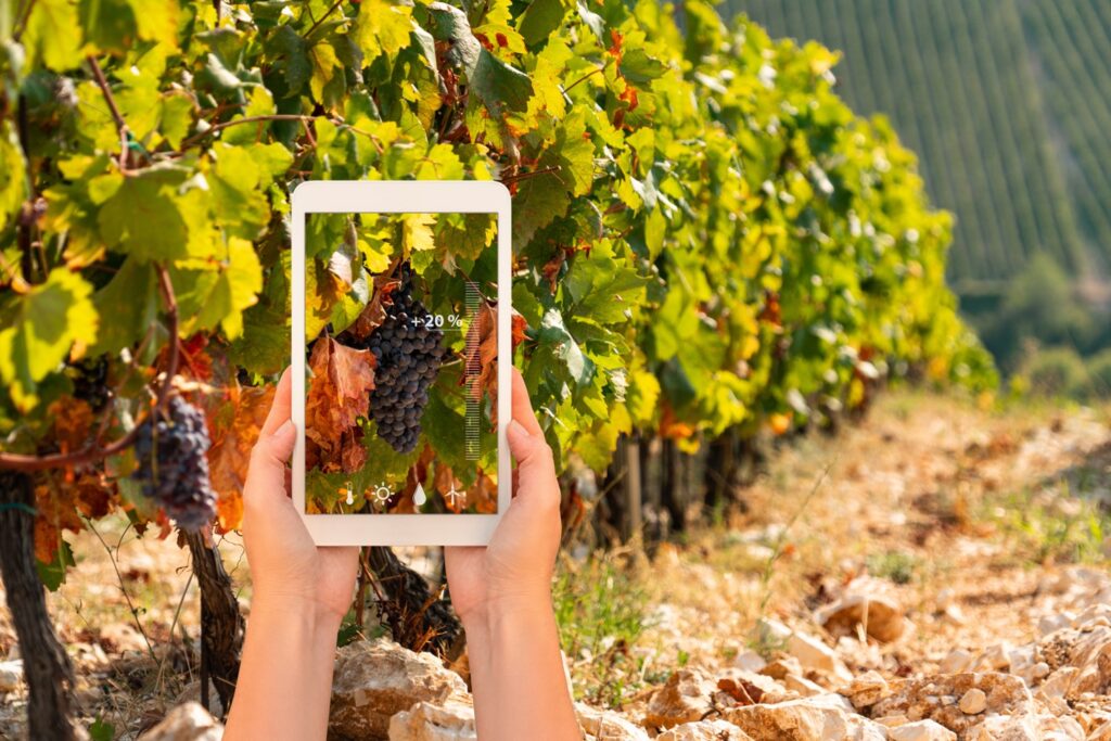
A mid-sized farm in the Midwest adopted drone and GIS technology to monitor its soybean and corn crops. By analyzing the drone-captured imagery with GIS, the farm managed targeted pesticide application, reducing chemical use by 20% while increasing yields by 15%. This not only resulted in higher profitability but also in enhanced soil health and reduced environmental impact.
Looking Ahead
As drone technology and GIS software continue to advance, the potential for innovation in agriculture grows. Farmers who embrace these tools will find themselves at the forefront of a more efficient, sustainable, and profitable farming future. Precision farming through drone imagery and GIS is not just a technological advancement; it’s a new way of thinking about agriculture. It represents a shift towards data-driven decision-making, where every drop of water and every ounce of fertilizer is used to its maximum potential. Welcome to the future of farming, where technology at your fingertips meets tradition to feed the world more effectively.