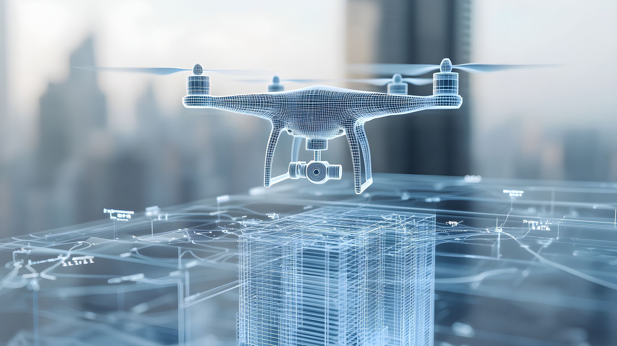
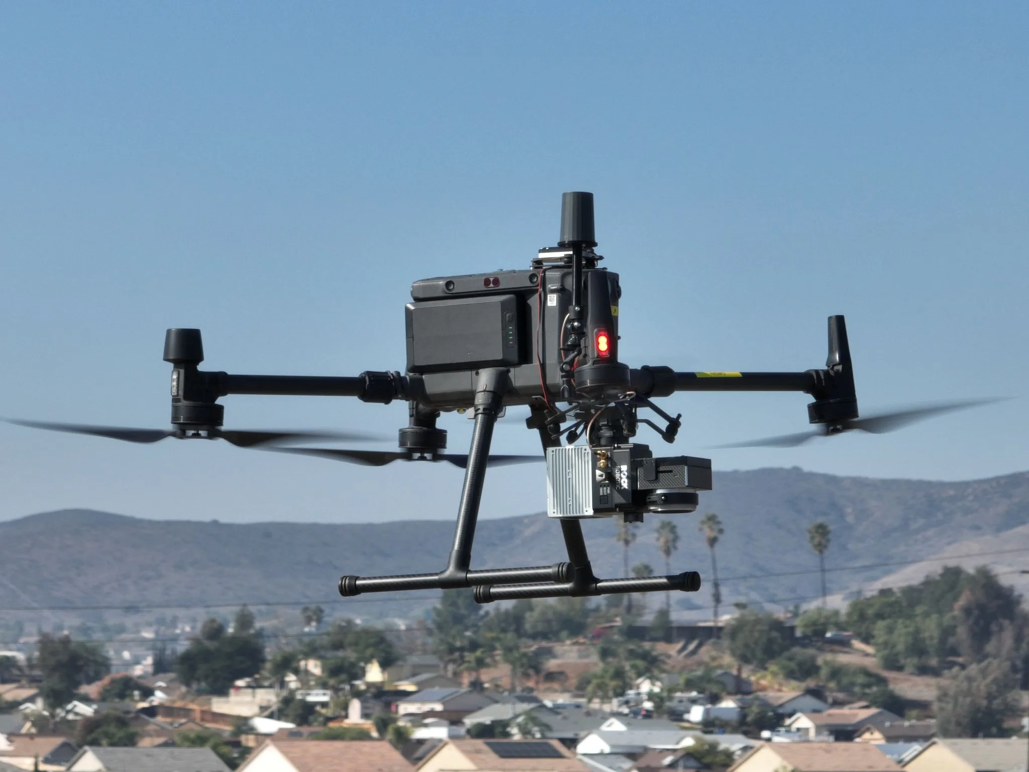
In a world where precision is everything, LiDAR Technology is revolutionizing the way we see and shape our environment. From drone mapping services to large-scale infrastructure projects, LiDAR’s ability to capture high-resolution, three-dimensional data is unmatched. And when it comes to using this game-changing tech for 3D Mapping and Modeling, Birds Eye Aerial Drones is leading the charge.
Why LiDAR is a Game-Changer in Drone Mapping Services?
Traditional surveying methods? Slow and prone to human error. Photogrammetry? Great for many applications but struggles in areas with dense vegetation or complex topography. LiDAR Technology, on the other hand, uses laser pulses to create highly accurate elevation models, penetrating through vegetation and capturing fine details that other methods can miss.
Just ask the archaeologists who uncovered an entire ancient Mayan civilization hidden beneath the dense jungle canopy—using LiDAR. By peeling back layers of vegetation digitally, researchers discovered previously unknown cities, temples, and road networks, proving just how powerful this technology can be.
Here’s why industries are turning to aerial mapping drones equipped with LiDAR:
✅ Accuracy: LiDAR can achieve vertical accuracy within 2-3 centimeters, making it the go-to solution for precise topographic mapping.
✅ Efficiency: LiDAR-equipped drone mapping services can cover hundreds of acres in hours, compared to the days (or weeks) required for ground surveys.
✅ Versatility: Whether it’s drone inspection services for power lines, construction sites, or environmental monitoring, LiDAR is capable of capturing intricate details that traditional methods can’t.
The Role of LiDAR in 3D Mapping and Modeling
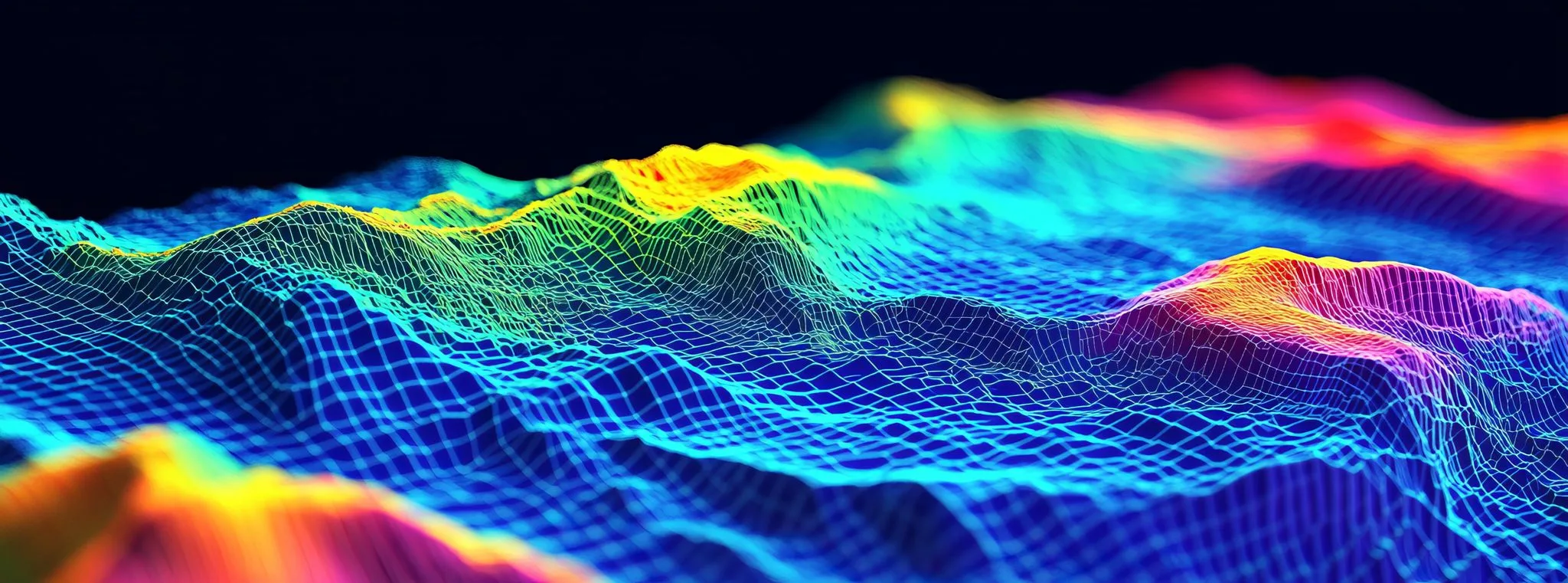
In industries where a few inches can mean the difference between success and failure, 3D Mapping and Modeling with LiDAR is the ultimate tool. And it’s not just drones leveraging this technology—self-driving cars use LiDAR to map and “see” the world around them in real-time. By sending out laser pulses and measuring how they bounce back, these vehicles create a continuously updated, high-precision model of their surroundings, allowing them to navigate safely.
Here are a few industries where LiDAR is making a massive impact:
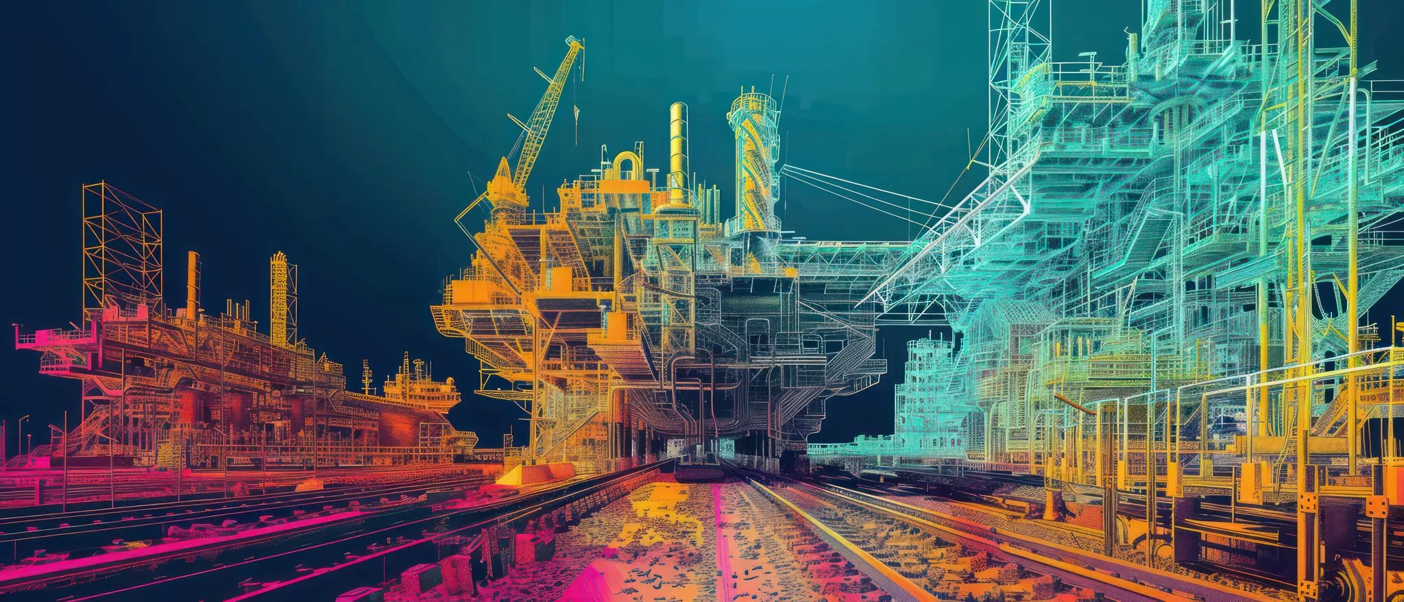
🔹 Construction & Infrastructure: Site planning, earthwork calculations, and progress tracking—LiDAR streamlines the entire lifecycle of a construction project.
🔹 Utilities & Energy: Drone Inspection Services using LiDAR help identify potential failures in power lines, pipelines, and substations before they become costly disasters.
🔹 Environmental & Agriculture: From monitoring deforestation to optimizing irrigation, aerial mapping drones provide the data needed for sustainable land management.
Also Read: Top 5 Industries Benefiting from Professional Drone Photography
Pro Tip: Choosing the Right Drone Company for LiDAR Mapping
Not all drone mapping service providers are created equal. When selecting a drone company for LiDAR-based mapping, look for:
✔️ Experience – Ensure the company has a proven track record with LiDAR technology and data processing.
✔️ High-Quality Sensors – LiDAR performance varies by system. A top-tier drone mapping service will use advanced, high-resolution sensors.
✔️ Data Expertise – Collecting LiDAR data is one thing—processing and making sense of it is another. Your provider should offer in-depth analytics and deliverables.
Birds Eye Aerial Drones: Your Partner in LiDAR Mapping
At Birds Eye Aerial Drones, we specialize in providing high-precision drone mapping services tailored to your industry’s needs. Whether you’re managing a construction site, inspecting critical infrastructure, or need high-resolution 3D Mapping and Modeling, our expert team and cutting-edge aerial mapping drones ensure you get the data you need—fast and accurately.
Let’s Elevate Your Mapping Capabilities!
Want to see how LiDAR Technology can transform your next project? Contact Birds Eye Aerial Drones today and let’s map out your success—one laser pulse at a time.
📩 Get in Touch: Birds Eye Aerial Drones