In today’s world, where precision and efficiency are non-negotiable, drone technology is revolutionizing land use planning, real estate development, and construction. Traditional methods of surveying, inspections, and site monitoring are being replaced by Land Aerial Drone Photography—delivering faster, more accurate, and cost-effective solutions.
At Birds Eye Aerial Drones, we provide Land Drone Photography Services that empower developers, real estate professionals, and construction managers with high-resolution aerial data, ensuring smarter decision-making. Whether it’s capturing topographic details, assessing land boundaries, or monitoring project progress, drone technology is setting a new industry standard.
Why Drones Are Essential for Land Use & Development?
1. Real Estate Development & Acquisition
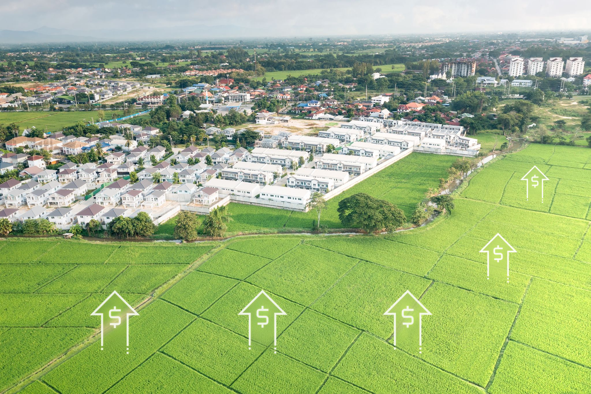
When it comes to real estate drone photography, having a comprehensive aerial perspective makes all the difference. Traditional site assessments can take weeks, but with Land Aerial Drone California solutions, developers receive detailed 3D mapping and topographic data in hours. This means fewer delays, better site evaluation, and informed investment decisions.
Fact: Aerial drone surveys reduce site assessment time by 60% compared to traditional ground methods, cutting costs significantly (Source: Drone Industry Insights).
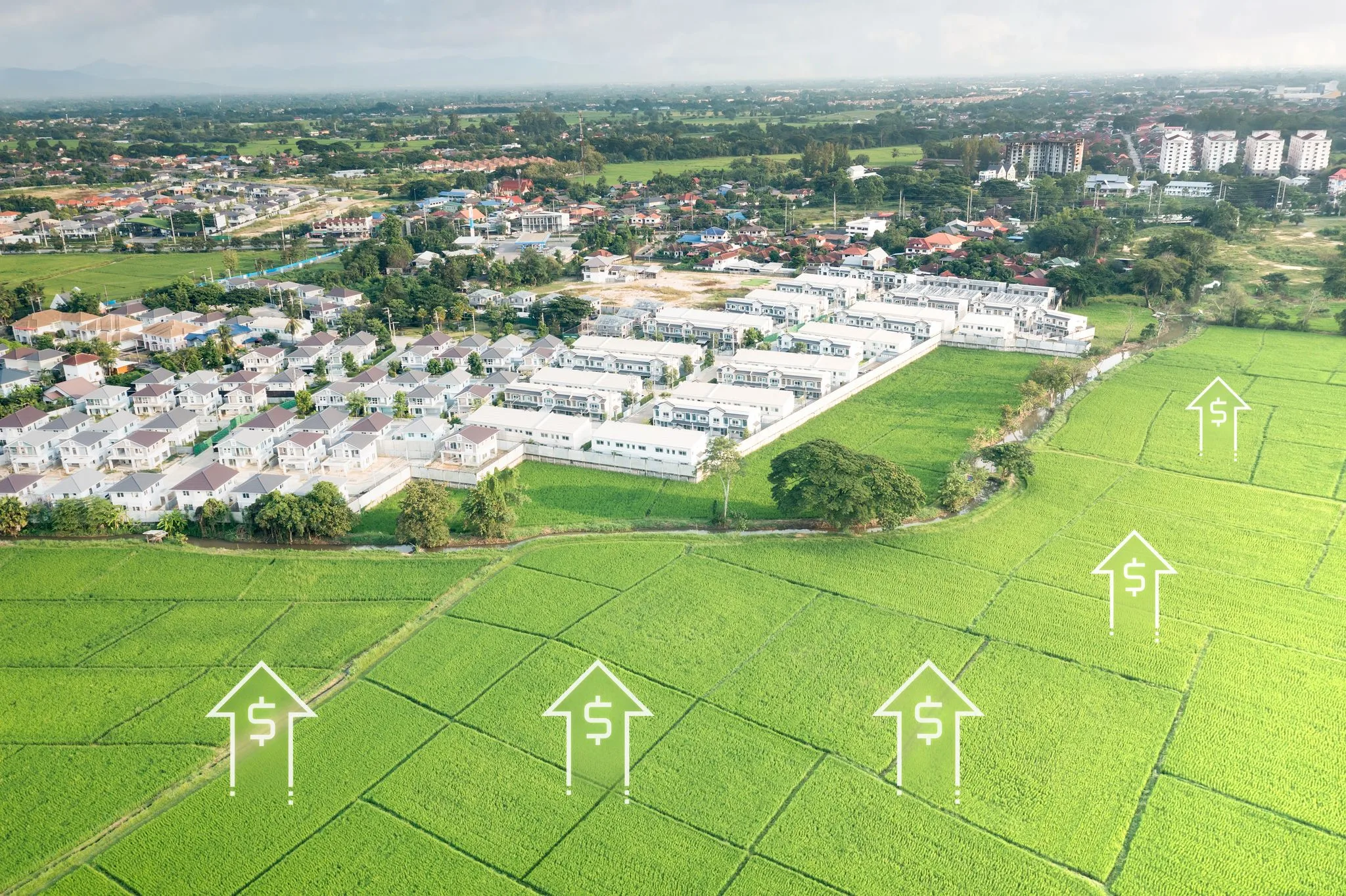
2. Land Entitlement & Zoning Approvals
Navigating regulatory approvals can be time-consuming, but land drone inspection services help streamline the process. High-resolution aerial imagery and orthomosaic maps allow developers to submit precise, visually rich documentation for faster approvals.
Fact: Using drones for land surveys improves zoning and entitlement approval turnaround by 40% due to enhanced accuracy and better data presentation to regulatory bodies (Source: Construction Business Owner).
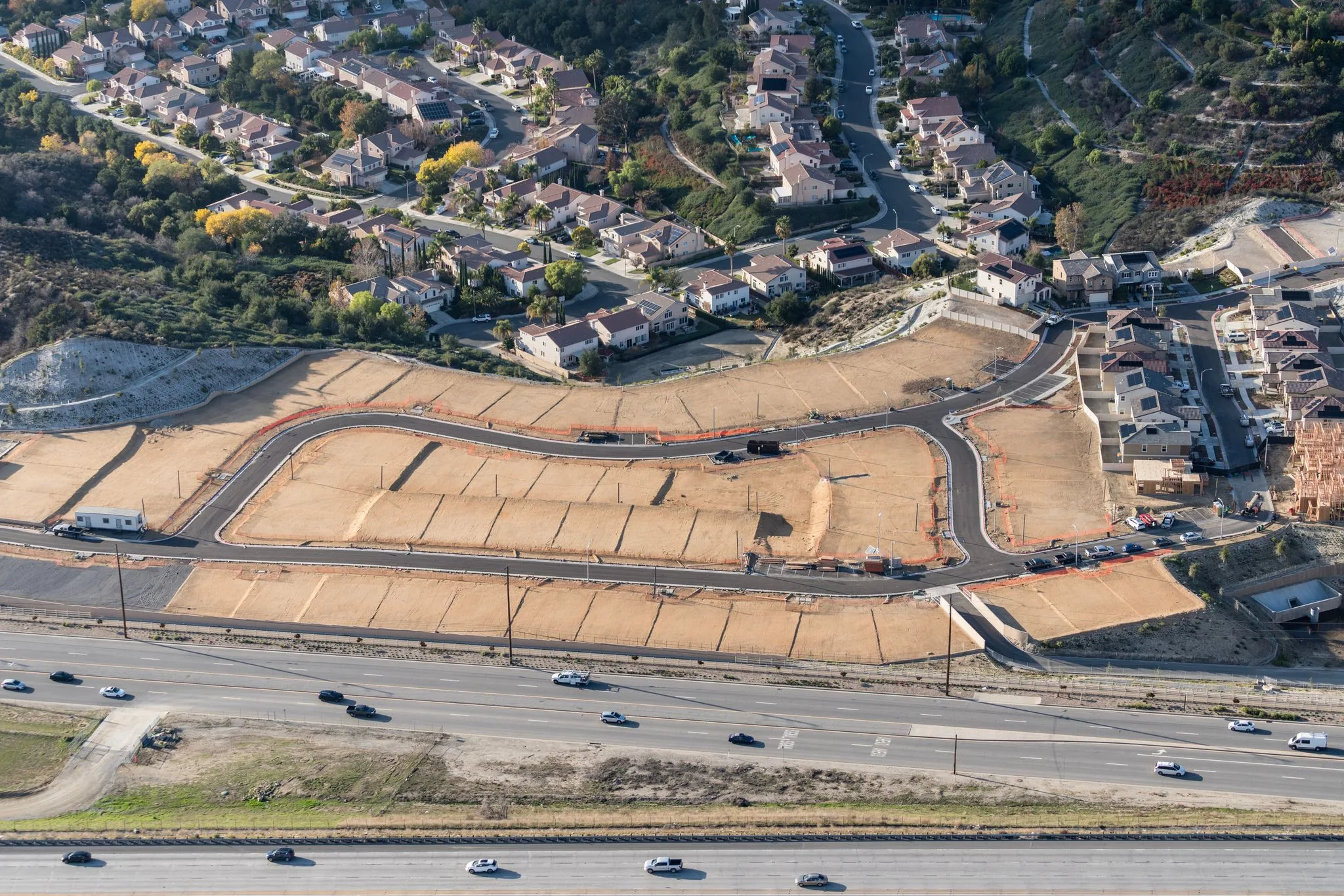
3. Construction & Project Management
Keeping large-scale projects on track is one of the biggest challenges in construction. With drone services, project managers can access real-time aerial updates, allowing for better progress tracking, resource allocation, and risk mitigation.
Fact: Studies show that drone-enabled construction monitoring reduces costly rework by 25%, helping projects stay on budget and timeline (Source: McKinsey & Co.).
Also Read: How Drone Technology Enhances Accuracy in Unmanned Aerial Drone Inspections
Pro Tips for Maximizing Drone Technology in Land Use Planning
✔ Use Aerial Drone Data for Smarter Planning
– Integrate Land Aerial Drone Photography with GIS systems to enhance land development strategies and predict environmental impacts.
✔ Leverage Drones for High-Resolution Mapping
– Real estate drone service providers like Birds Eye Aerial Drones use high-resolution cameras and LiDAR technology to produce highly accurate land assessments.
✔ Streamline Compliance & Stakeholder Communication
– Aerial drone reports provide visual documentation that simplifies discussions with city planners, investors, and stakeholders.
✔ Reduce Manual Labor Costs & Enhance Safety
– By replacing traditional ground surveying with land drone inspection services, teams can reduce on-site labor by up to 50% while improving safety conditions.
Why Choose Birds Eye Aerial Drones?
At Birds Eye Aerial Drones, we are committed to delivering high-quality Land Aerial Drone Photography and real estate drone service solutions that drive efficiency, accuracy, and cost savings.
✅ Precision Mapping & Inspections – Ensuring highly detailed site analysis
✅ Faster Data Collection – Reducing project assessment time by weeks
✅ Cost-Effective Solutions – Cutting surveying and monitoring costs significantly
✅ Regulatory Expertise – Supporting land entitlement and zoning approvals
Whether you’re in land development, real estate, or construction, we have the drone services to elevate your projects.

Let’s build smarter, faster, and better—together.
Contact Birds Eye Aerial Drones today to learn how our drone services near me can transform your land planning and development strategy.