
In today’s fast-paced world, the land surveying industry is undergoing a transformative shift, thanks to the advent of drone technology. Birds Eye Aerial Drones, a leader in drone mapping services, is at the forefront of this revolution, offering precision, efficiency, and innovative solutions to traditional challenges. In this detailed exploration, we will delve into how aerial mapping drones are reshaping the landscape of land surveys, providing unprecedented benefits that were once thought impossible.

The Evolution of Land Surveying
Traditionally, land surveying has been a labor-intensive task requiring significant manpower, time, and resources. Surveyors had to physically traverse vast terrains, often in challenging or inaccessible areas. However, the introduction of drone technology has ushered in a new era. Drone mapping services have transformed land surveys into a more streamlined, accurate, and cost-effective process.

Enter Drone Mapping
At Birds Eye Aerial Drones, we harness the capabilities of advanced aerial mapping drones to capture high-resolution images and data from above. This process, known as drone mapping, allows for the collection of vast amounts of data in a fraction of the time it would take using traditional methods. But what exactly is drone mapping, and why is it becoming an industry standard?
Also Read: Top 5 Industries Benefiting from Professional Drone Photography
What Is Drone Mapping?
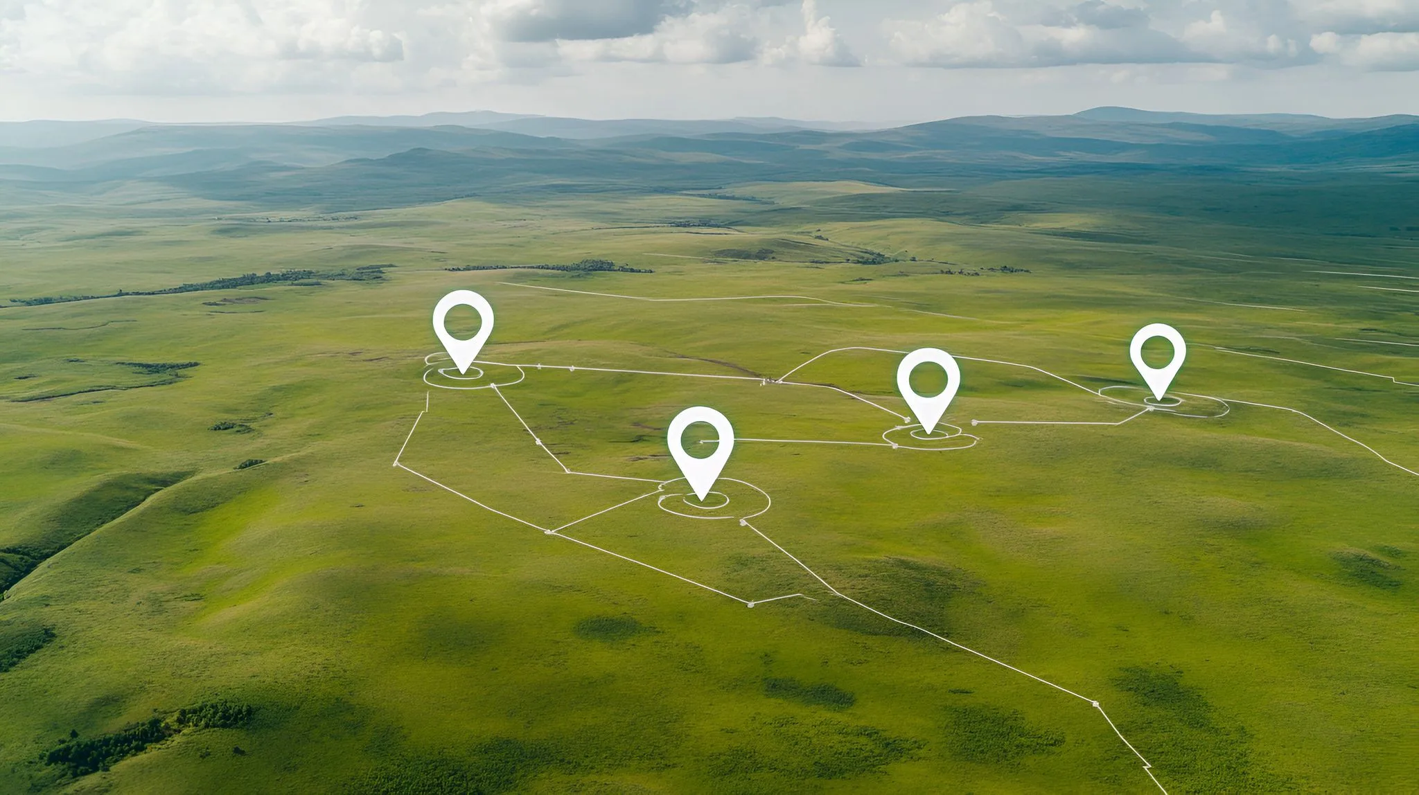
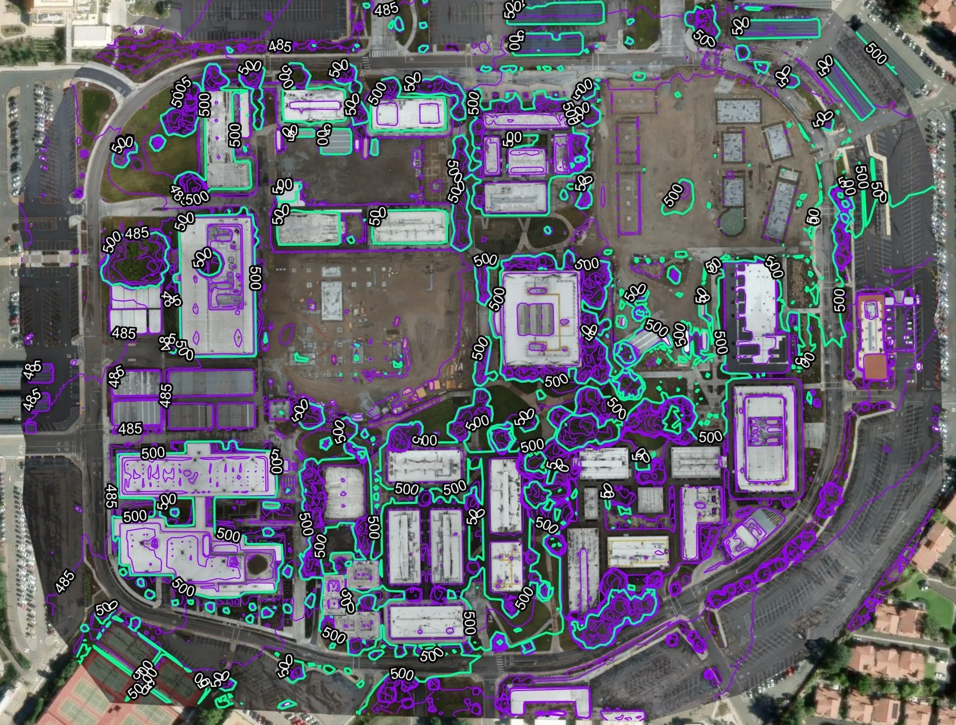
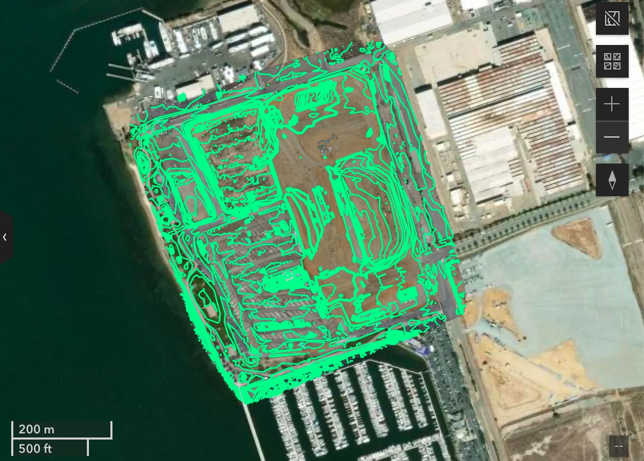
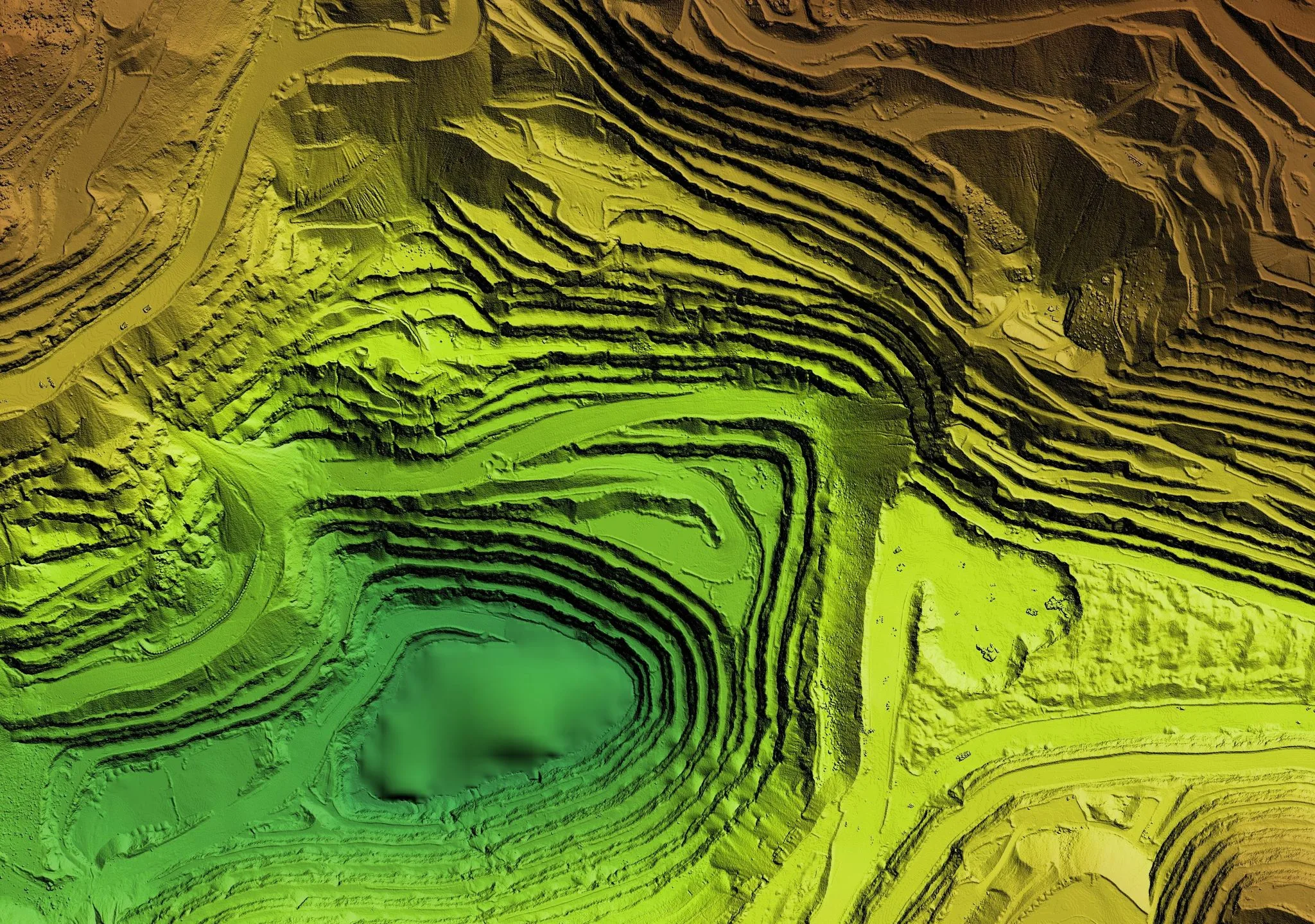
Drone mapping involves the use of unmanned aerial vehicles (UAVs), equipped with high-resolution cameras and sensors, to gather geospatial data. The technology behind these aerial mapping drones includes photogrammetry and LiDAR (Light Detection and Ranging), enabling them to produce detailed 3D models of the surveyed area.
Benefits of Drone Mapping Services
- Increased Accuracy and Detail: The precision of drone surveying and mapping is unparalleled. The high-resolution imagery and the ability to capture minute details result in more accurate maps and models. This level of detail is crucial for the planning, development, and management of projects.
- Enhanced Efficiency: Aerial mapping drones can survey large areas quickly, reducing the time required for data collection dramatically. For instance, an area that would typically take weeks to survey can be mapped in just a few hours with a drone.
- Cost Reduction: By minimizing the manpower and hours needed for traditional surveying, drone mapping services significantly reduce the overall cost of projects. This cost-effectiveness makes drone surveys an attractive option for many sectors, including agriculture, land use, planning & development, and environmental management.
- Improved Safety: Surveying hazardous or difficult-to-reach areas poses significant risks to human surveyors. Drones eliminate the need for physical presence in such locations, ensuring safety and preventing potential accidents.
- Versatility and Scalability: Drone mapping is highly adaptable to various industries and can be scaled to suit different project sizes. Whether it’s monitoring construction progress, inspecting pipelines, or mapping wildlife habitats, drone services offer a versatile solution.
Birds Eye Aerial Drones: A Trusted Drone Mapping Company
At Birds Eye Aerial Drones, our commitment goes beyond simply providing drone surveying and mapping services. We focus on delivering customized solutions that meet the unique needs of our clients. Our team of skilled professionals is equipped with the latest in drone technology, ready to tackle projects of any scale.
Real-World Applications of Drone Mapping
Drone mapping is not just about the technology; it’s about the impact it has on real-world projects. Here are a few examples of how our services have made a difference:
- Environmental Conservation: Drones have been instrumental in mapping deforested areas, monitoring wildlife populations, and shoreline erosion, and managing natural disasters like floods and wildfires.
- Urban Planning: City planners and developers use drone-generated data to visualize new developments, plan infrastructure projects, and manage public utilities.
- Agriculture: Farmers leverage drone data to analyze soil health, monitor crop growth, and optimize water and input usage, thereby enhancing agricultural productivity.
Looking to the Future
The potential of drone mapping is vast, with new applications and improvements emerging continually. As technology advances, so will the capabilities of drones, further cementing their role in modern surveying and mapping.
Partner with Birds Eye Aerial Drones
If you’re ready to embrace the benefits of drone mapping services for your next project, contact Birds Eye Aerial Drones. Let us show you how our aerial mapping drone solutions can provide you with the accuracy, efficiency, and safety your projects deserve.
Embrace the future of land surveying with Birds Eye Aerial Drones, where innovation meets precision. Visit our website or contact us today to learn more about how we can assist you in revolutionizing your surveying and mapping needs.