
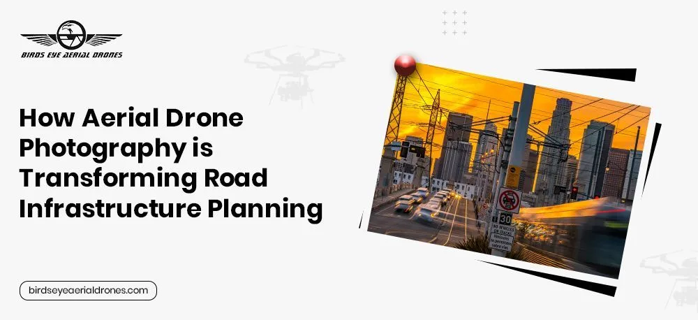
There’s something about standing at the edge of a massive infrastructure project—watching the movement, the planning, the sheer scale of it all—and realizing just how much data and precision go into making it all work.
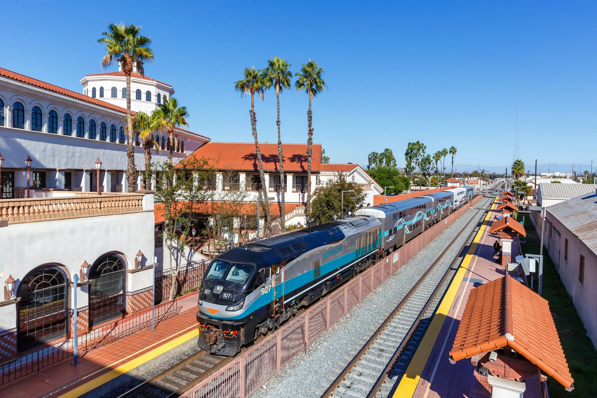
That’s exactly where LA Metro found itself. They needed to import their entire service territory into their GIS system, a process crucial for future road planning, maintenance, and urban development. But there was just one problem…
They had no clear way to efficiently and accurately gather the data they needed.
The Challenge: When the Data Doesn’t Exist, the Roads Can’t Evolve
Imagine trying to plan and maintain one of the busiest transportation networks in the country without having a full, accurate view of your assets. That was the reality LA Metro was facing. Without a comprehensive, up-to-date aerial perspective of their infrastructure, decision-making was slower, riskier, and prone to costly errors.
- Traditional ground surveys? Too slow and expensive.
- Satellite imagery? Lacking the detail they needed.
- Manually entering data? Impossible for an area this vast.
- LA Metro needed a hero to step in and solve this challenge.

The Transformation: Enter Aerial Drone Photography
That’s where Birds Eye Aerial Drones came in.
We worked side by side with LA Metro to develop a cutting-edge aerial drone photography solution that captured, processed, and integrated their entire service territory into their GIS system—faster and more accurately than any other method available.
- High-resolution aerial photography drone technology gave them a crystal-clear view of roadways, intersections, and infrastructure assets.
- Our road inspection drone services provide precise data collection in real time, reducing the margin for error.
- As a leading road inspection drone company in California, we helped streamline their GIS integration and provided detailed, actionable insights.
Fact: Drone-based infrastructure assessments are 50% faster and 30% more cost-effective than traditional methods, helping agencies like LA Metro plan smarter, act faster, and reduce maintenance costs (Source: McKinsey & Co.).

The Outcome: Smarter Roads, Better Planning, and a Future-Proof System
With our road inspection drone company’s expertise, LA Metro’s entire service territory was successfully integrated into their GIS platform. Now, they have:
- Real-time, accurate data that allows them to plan road projects with confidence.
- Faster decision-making that cuts through red tape and reduces project delays.
- A future-proofed system that can easily be updated as infrastructure evolves.
What once seemed impossible became a new standard for infrastructure planning.
Also Read: Top 5 Industries Benefiting from Professional Drone Photography
Pro Tips: How to Use Drone Photography for Road Planning Success
1. Use Aerial Drone Photography for Large-Scale Mapping
– High-resolution aerial images create detailed, accurate road network maps that improve planning.
2. Integrate Drone Data Directly into Your GIS System
– Work with a road inspection drone company to seamlessly import up-to-date imagery and mapping data.
3. Reduce Inspection Time with Drone Photography Services
– Routine road inspections with drones cut assessment times by half while improving safety.
4. Choose an Experienced Road Inspection Drone Company in California
– The right partner makes all the difference. Choose a team that understands regulations, data processing, and infrastructure needs (we do!).
Your Roads Deserve Smarter Solutions—We Deliver Them
LA Metro leaped forward by embracing aerial drone photography to revolutionize its infrastructure planning. If your city, agency, or company is still struggling with outdated road inspection methods, it’s time to make the switch.
Let’s talk about how we can bring your road planning into the future. Contact Birds Eye Aerial Drones today!