
The Problem: When Boots-on-the-Ground Just Isn’t Fast Enough
They were stuck. Again.
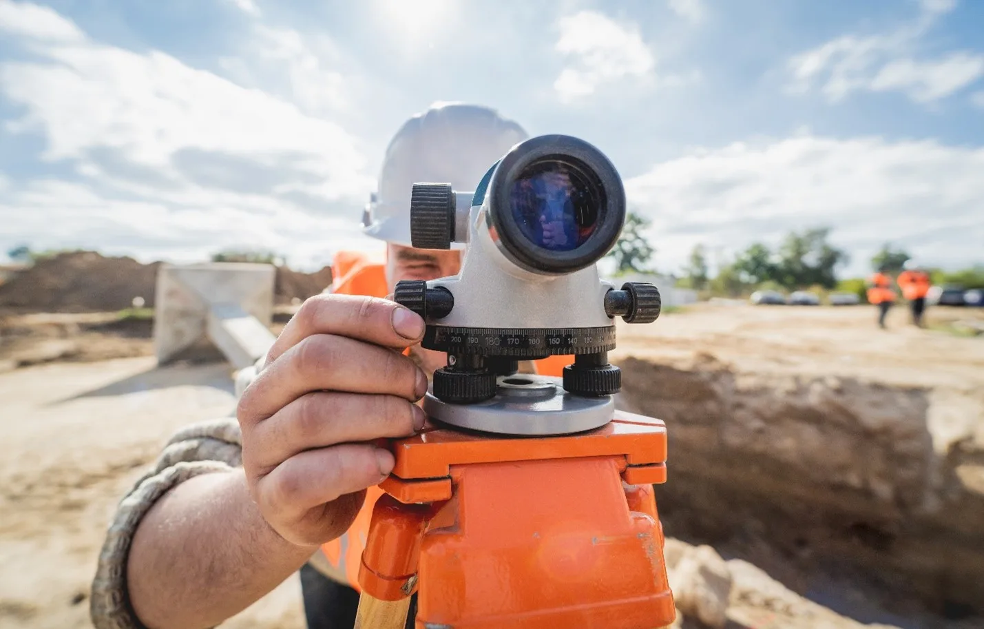
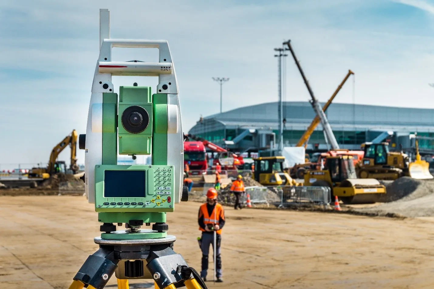
The project was already behind schedule. Manual surveys were delayed by rugged terrain, unexpected vegetation, and that one error that somehow made it past quality control, throwing everything off by several feet.
This wasn’t their first big development project. But as deadlines tightened and expectations grew, it was clear: their traditional land survey tools weren’t keeping up with the pace of modern infrastructure demands.
What they needed wasn’t more manpower.
They needed more perspective.

Could There Be a Better Way?
The project manager—a seasoned land surveyor—kept hearing buzz around the office about drone mapping services. But were drones really accurate enough? Could GIS and drone services deliver the level of precision needed for large-scale land development?
Curiosity led to discovery. Discovery led to Birds Eye Aerial Drones.
We met them right at that moment—frustrated but hopeful—and introduced a simple promise:
You don’t need to work harder. You just need to see smarter.
Also Read: LiDAR Technology: The Key to Accurate 3D Mapping and Modeling
Letting Go of “The Way It’s Always Been Done”
The first drone flight mapped over 200 acres in a single morning.
In the past, that would’ve taken 3–5 days with a full survey crew. Now? Just two pilots, a drone, and software that stitched the imagery into crystal-clear, centimeter-accurate data.
They saw it immediately:
Contours. Elevation changes. Drainage pathways.
The landscape wasn’t a mystery anymore—it was a map.
And it wasn’t just a pretty picture.
It was a fully GIS-compatible orthomosaic that integrated seamlessly with their planning software.

The Transformation: From Surveyor to Superhero
Gone were the days of returning to the field for “just one more measurement.”
With drone mapping, they now had:
✔️ Up to 70% faster survey turnaround
✔️ Precise digital elevation models
✔️ Geo-tagged imagery ready for GIS analysis
✔️ Safer inspections in hard-to-reach terrain
And best of all?
They could finally stay ahead of schedule, on budget, and confident in their data.
The team didn’t just adopt a tool—they transformed their entire workflow.
They weren’t just surviving the chaos of land development.
They were leading it.

Sharing the Advantage
Today, they’re advocates.
The hero in this story—our surveyor turned pioneer—now encourages others in civil engineering, real estate development, and land planning to look up and take flight.
Because when you partner with a trusted drone mapping company, the sky really isn’t the limit—it’s the starting point.
What’s In It for You?
If you’re still relying on boots and tripods to map your land, it’s time to evolve.
With drone mapping for land surveys, you gain more than data. You gain clarity. You gain time. You gain peace of mind.
At Birds Eye Aerial Drones, we’re not here to replace your expertise.
We’re here to elevate it.
✨ Pro Tip:
Want to impress stakeholders? Pair your drone mapping output with 3D modeling and annotated GIS layers. Visual storytelling = faster approvals.
🚀 Ready to be the hero of your next project?
Let’s put you in command of the sky.
📩 Contact Birds Eye Aerial Drones today for a custom quote or demo.