There’s something powerful about seeing progress happen in real time. Watching a foundation turn into a frame, a frame into a structure, and a structure into a finished masterpiece—it’s the heartbeat of the construction industry.
But here’s the truth: today’s builders, developers, and planners don’t have time to wait for yesterday’s data.
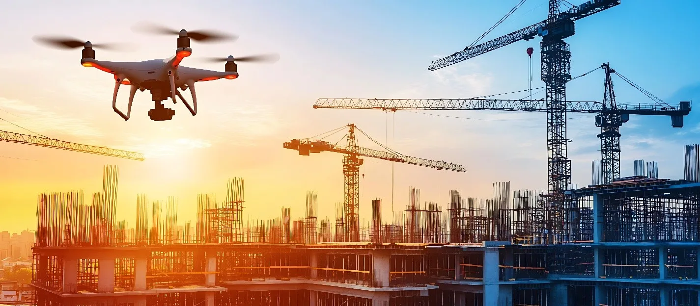
And that’s where aerial drone services in California—specifically, the kind built on precision, safety, and veteran discipline—step in.
At Birds Eye Aerial Drones, we’ve flown over 325,000 successful missions, but some of our most meaningful work is done shoulder-to-shoulder with construction teams who are shaping California’s future skyline.
The Hero’s Journey Begins with a Blueprint
You’ve got a vision. A schedule. A crew ready to hit the ground running.
But staying ahead in this industry takes more than muscle—it takes real-time intelligence. That’s where our drone construction services lift you above the noise and into the data you need.
Our mission is simple: to help you build smarter, safer, and faster by capturing the story of your site from the air, while you stay grounded in what matters most.
From Jobsite to Cloud in Hours
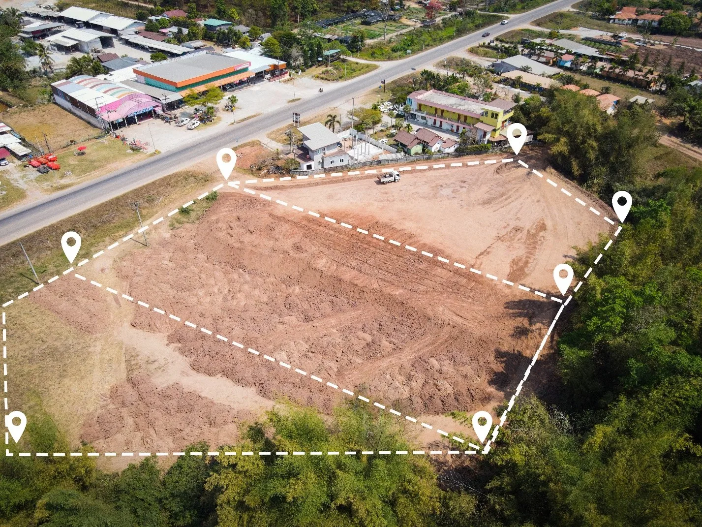
Whether it’s for planning, compliance, or coordination, our clients need eyes on everything, without bottlenecks.
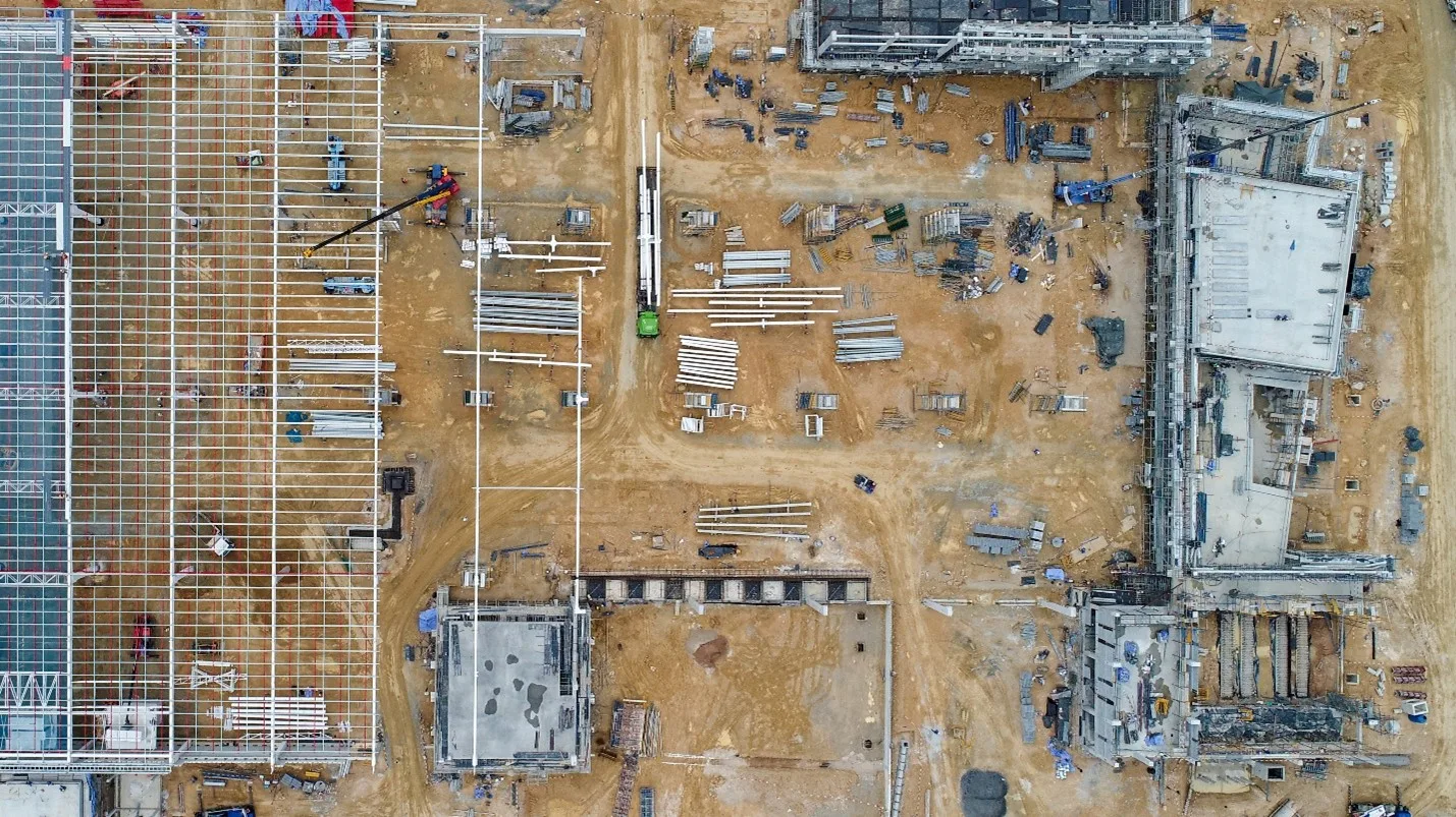
With construction aerial photography, commercial real estate drone photography, topographical maps, orthomosaics, LiDAR, and more, BEAD delivers ultra-high-resolution imagery and 3D mapping within 48–72 hours. That means your team is reviewing structural details, terrain shifts, placement, and progress tracking while the rest of the industry is still waiting on paperwork.
- Real-time orthoimagery
- BIM & CAD integration
- Progress flight overlays
- Sub-centimeter RTK accuracy
And the best part? We do it without disrupting your crew.
On-Site Safety, Reinvented
Before drones, checking rooflines or scaffolding meant someone had to climb.
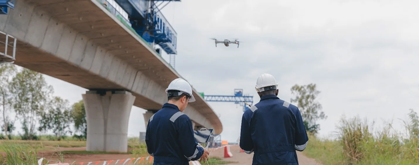
Now? Our construction drone service provides a bird’s-eye view of potential hazards, equipment staging needs, tight zones, and equipment flow, so your safety officer has the data needed to prevent the next incident, not just respond to it.
It’s not just about collecting imagery—it’s about reducing risk.
Also Read: The Impact of Drone Services on Real Estate Development Planning
Better Communication, Fewer Delays
With BEAD’s drone operating service, field teams, project managers, and stakeholders can all see the same visuals from anywhere. That’s a game-changer when it comes to:
- Client updates and reporting
- Subcontractor coordination
- Inspection documentation
- Stakeholder Communication
- Compliance and legal issues
And for those in commercial real estate drone service, these visuals are the marketing gold that turns listings into action.
Sustainability Through Smart Data
Drones also reduce the need for multiple vehicle trips, heavy equipment surveys, wasteful rework, and planning delays. Every flight supports your sustainability goals while helping your budget stretch further.
What’s in It for You?
- Speed: 72-hour average turnaround
- Accuracy: Sub-inch RTK data
- Compliance: OSHA, FAA, aligned
- Trust: 0 reportable FAA incidents in 10 years
We’re proud to be more than a drone surveying company—we’re your trusted partner in building the next big thing, without the guesswork.
A Word from the Field
“We used to guess. Now we measure.”
– Senior Superintendent, Southern California Construction Firm
Ready to Build with Data?
Let us bring commercial real estate drone photography and drone construction services to your site—and elevate your decision-making with every flight.
Contact us today to learn how BEAD’s aerial drone services in California are transforming real-time construction workflows.
Because your vision deserves more than good guesses.
It deserves precision from above, progress on the ground.


