Commercial Aerial Services
Integrating drone technology into commercial operations has proven to significantly enhance efficiency and profitability. A survey revealed that 92% of companies realized a positive return on their drone investments within one year.
In the construction industry, drone usage has led to a 65% improvement in communication and collaboration, a 61% increase in measurement accuracy, and a 55% enhancement in safety standards.
Additionally, in the energy sector, employing drones for infrastructure inspections can result in up to a 50% reduction in costs compared to traditional methods.
These statistics underscore the substantial benefits that drones bring to various commercial services, making them a valuable asset for businesses aiming to optimize operations and maximize returns.


LiDAR (light detection and ranging, its a sensor we use)
Smarter Planning & Development with Commercial Aerial Photography Services
Commercial Real Estate
Elevate Commercial Real Estate Marketing with Aerial Drone Solutions
In today’s fast-paced market, high-quality visuals are essential to attracting buyers and investors. At Birds Eye Aerial Drones, we provide commercial real estate drone photography that captures properties from dynamic perspectives, delivering stunning aerial imagery with unmatched clarity and detail. Whether you’re marketing a new development, assessing land for future projects, or offering investors an immersive view, our cutting-edge drone technology enhances property presentations, making them more compelling and effective.
More than just photography, our commercial real estate drone solutions include high-resolution aerial images, 360-degree panoramic views, and cinematic video tours that showcase a property’s scale, surroundings, and key selling points. These immersive visuals help listings stand out, accelerate sales, and improve decision-making for buyers before they even step on-site. From aerial mapping for site planning to eye-catching marketing content, Birds Eye Aerial Drones empowers developers, brokers, and property managers to elevate their real estate strategy and thrive in a competitive market.
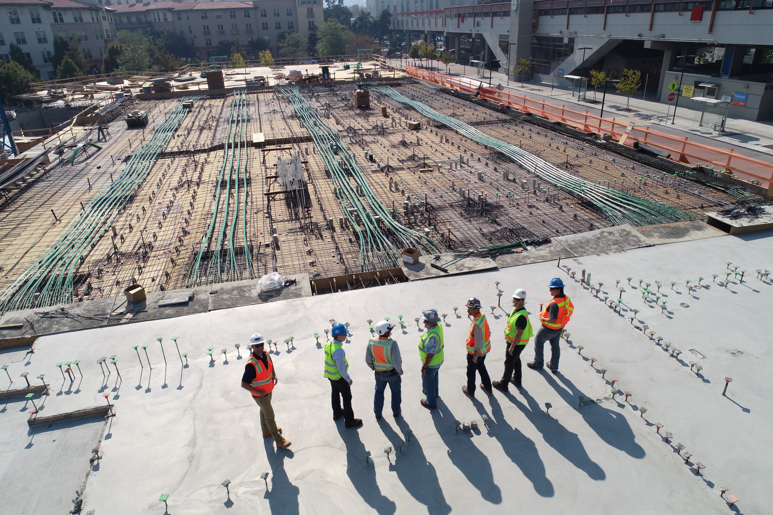
Transforming Projects with Drone Solutions for Architecture & Construction
Precision, efficiency, and innovation drive success in modern design and building projects. At Birds Eye Aerial Drones, we provide industry-leading drone for Architecture & Construction solutions that enhance project planning, monitoring, and execution. From concept to completion, our aerial technology delivers high-resolution imagery, 3D modeling, and topographic data to streamline workflows, reduce costs, and improve site safety.
Our Architecture & Construction drone services empower architects, engineers, and contractors with real-time insights that optimize site assessments, track progress, and enhance collaboration. With Drone Services for Construction, teams can efficiently monitor large-scale developments, detect potential issues early, and maintain project timelines with accurate aerial data. This level of detail ensures better decision-making, minimizes costly rework, and supports compliance with industry regulations.
By integrating Drone Services for Architecture, professionals gain an innovative tool that improves visualization, enhances presentations, and provides clients with a comprehensive view of their projects. Whether capturing detailed structural analysis or generating marketing visuals, Birds Eye Aerial Drones delivers the cutting-edge solutions needed to elevate design and construction operations.
Revolutionizing Land Use, Planning & Development with Drone Technology
Elevate Commercial Real Estate Marketing with Aerial Drone Solutions
At Birds Eye Aerial Drones, we provide Land Aerial Drone Photography and Land Drone Inspection Services across California, delivering high-resolution imagery and precise data that streamline land use planning and development. Drone mapping is significantly faster than traditional surveying, reducing project timelines and labor costs while improving ROI. In fact, drone-based land surveys are up to 50% faster than traditional methods, allowing for rapid decision-making and resource allocation.
Beyond efficiency, drones enhance safety by accessing hazardous or hard-to-reach areas without putting personnel at risk. This is especially critical for undeveloped terrain assessments and construction monitoring. Additionally, high-resolution aerial data improves planning accuracy, helping developers identify potential site issues early and optimize project design. Companies leveraging drone technology for land development experience up to a 30% reduction in project delays and a 20% increase in resource efficiency. By integrating Land Drone Photography Services, developers can improve precision, safety, and overall project success.
Enhancing Engineering Efficiency with Drone Technology
Enhancing Desert Golf Course Management with Drone Technology
Incorporating drone technology into desert golf course management offers significant advantages in efficiency and resource optimization. Utilizing Golf Drone Photography Services and Drone Golf Course Services, superintendents can swiftly identify turf stress and irrigation issues across expansive areas. This rapid detection enables targeted interventions, leading to substantial labor and cost savings. For instance, employing drones for inspections can reduce the need for manual scouting, allowing maintenance teams to focus efforts where they are most needed.
Moreover, Golf Course Drone Mapping Services provide detailed aerial imagery that enhances decision-making processes. By analyzing this data, course managers can optimize water usage—a critical factor in desert environments—thereby reducing water consumption and associated costs. Additionally, drones equipped with advanced sensors can monitor turf health more precisely than traditional methods, leading to improved turf quality and increased player satisfaction. These benefits collectively contribute to a strong return on investment, making drone technology an invaluable asset for desert golf course maintenance.
Submit Your Inquiry
Benefits
Our team of trained professionals has you covered
Customer Success
Aerial Marketing Imagery
An engineering firm benefits from our commercial services by our team capturing high quality content for use in their digital and social media marketing. We regularly deploy birds-eye photography and videography of their completed transportation projects as well as project reporting.
Customer Success
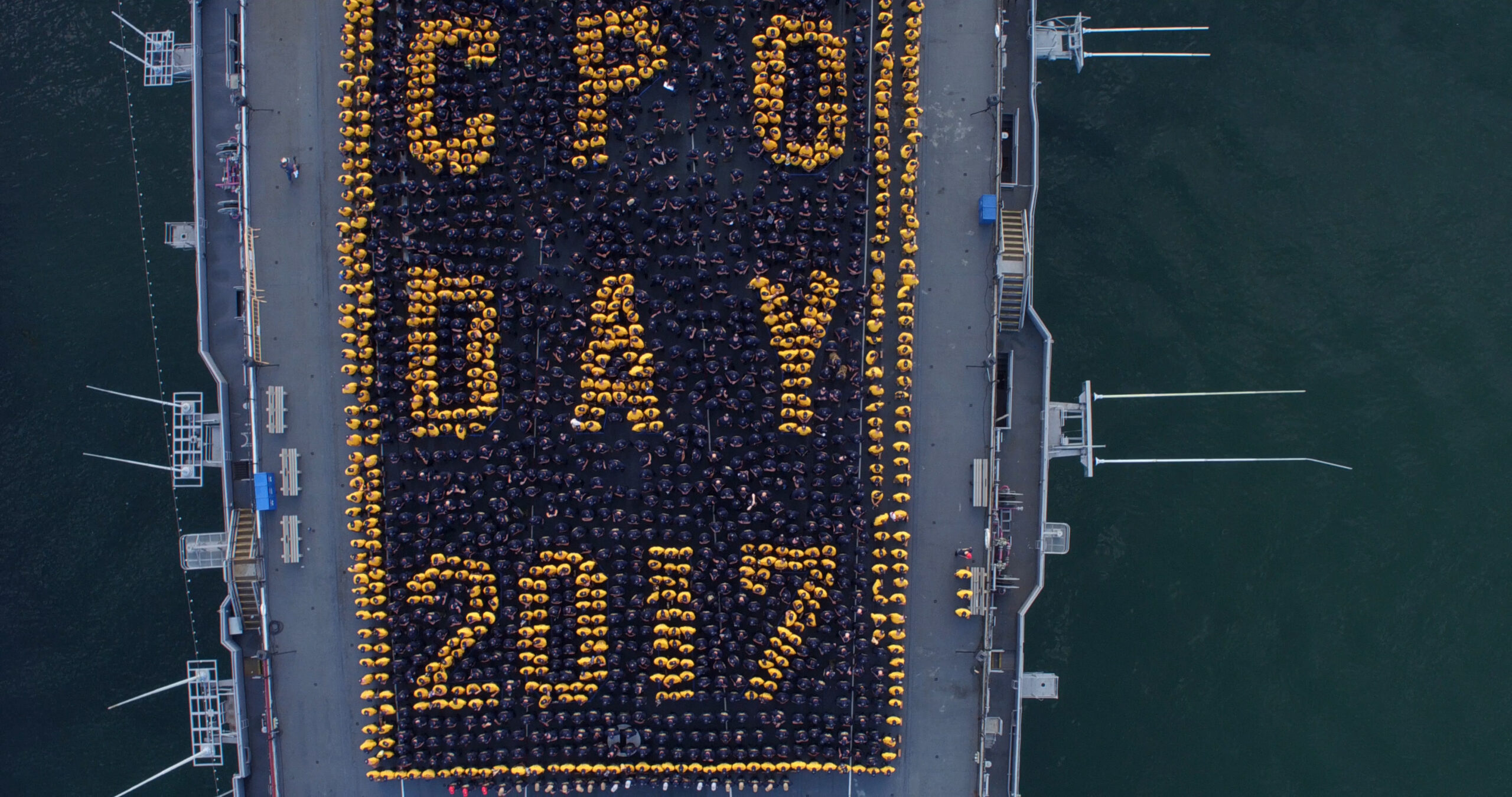
Corporate Event
Another of our clients wanted a unique and memorable team building event for their annual corporate conference. By scheduling our Living Logo Package they got just that. A fun and interactive activity. Each participant receives a keepsake t-shirt and the company obtains exclusive one-of-a-kind branding aerial photography and unique aerial videography. The company representative, venue event planner, as well as the contracted corporate event planner were all thrilled with the results.
Aerial Drone Services & GIS Insights


First and foremost, BEAD is an SDVOSB company providing turnkey aerial imaging solutions and consulting to help you improve your ROI. For example, do you require actionable aerial data for mapping & environmental monitoring? Perhaps aerial imagery for the entertainment, AEC, utility or communications industry? In fact, we’ve got just the right solution to meet your needs.
Above all, we observe all local, state & federal flight safety regulations, as applicable and are $10M insured.