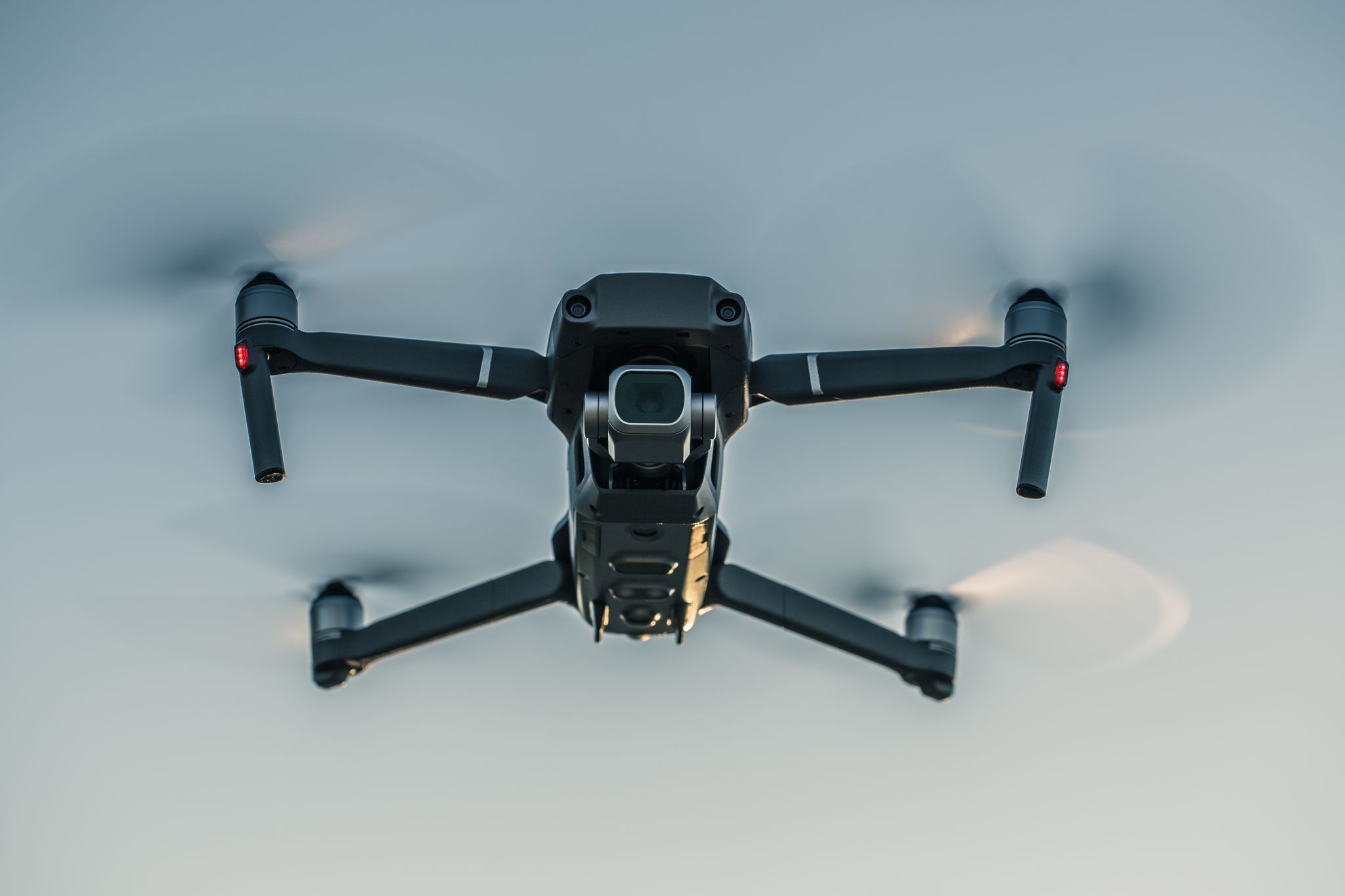
In a world where technology transforms how industries operate, drone photography stands out as a game-changer. From capturing breathtaking aerial views to providing invaluable data insights, professional drone photography services are reshaping business strategies across multiple sectors. At Birds Eye Aerial Drones, our expertise in delivering top-notch birds eye drone photography elevates industries, particularly here in California, where innovation meets opportunity.
In this blog, we’ll explore the top five industries harnessing the power of drone photography services and how they’re reaping the rewards of this cutting-edge technology.
1. Commercial Real Estate: Elevating Property Listings with Aerial Perspectives
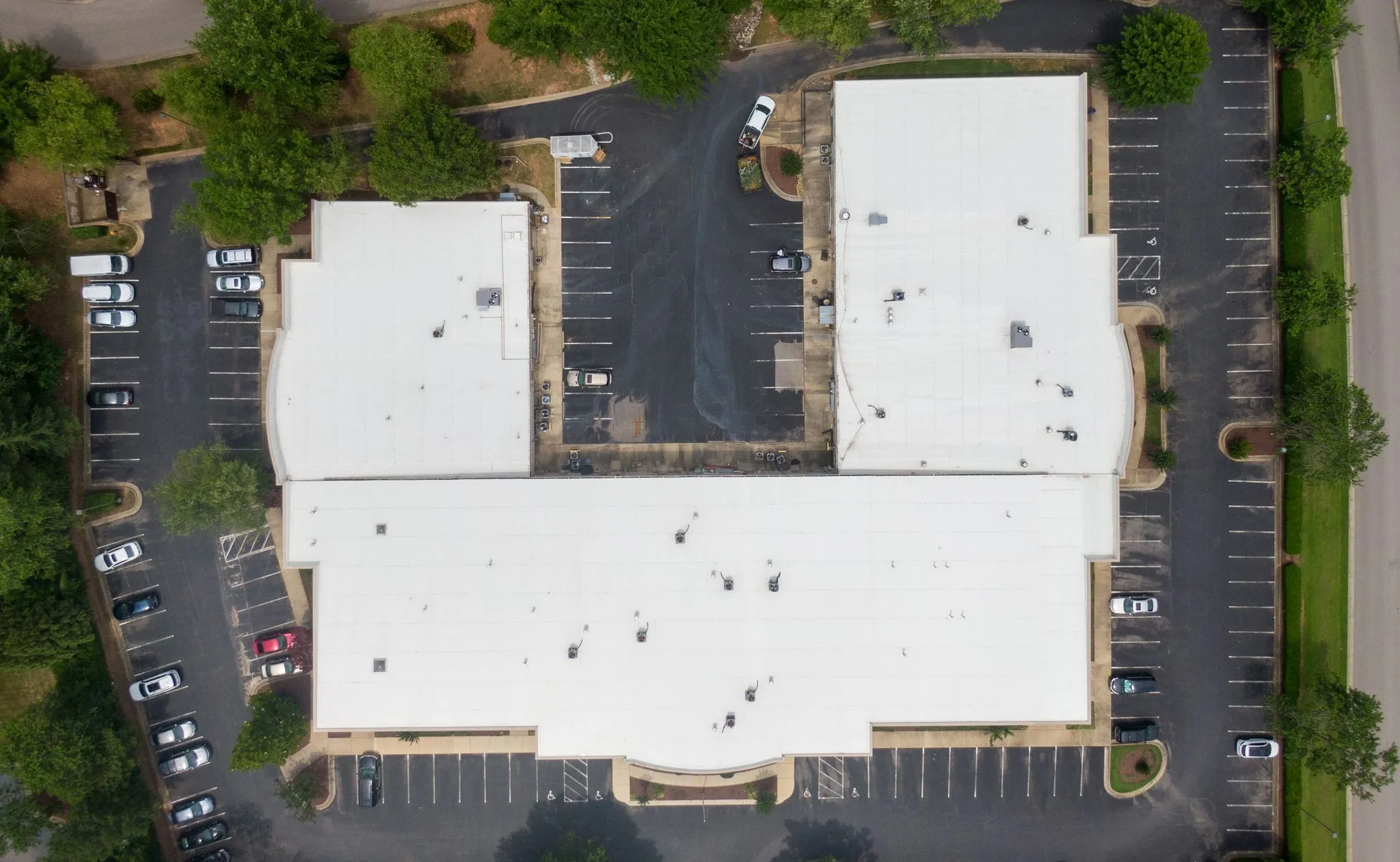
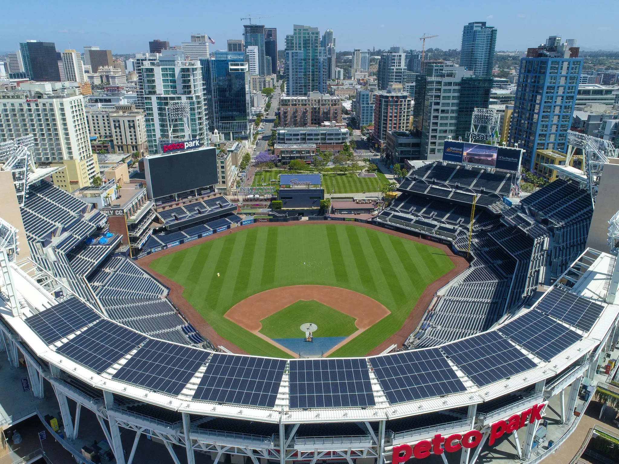
In business, especially in commercial real estate, people only glance at the front side before making a judgment. Showcasing properties with birds eye drone photography can set your listings apart, providing potential buyers or tenants with a comprehensive view of the property’s layout, accessibility, and surrounding businesses. These stunning aerial visuals not only highlight key features like parking capacity, proximity to major roads, and structural details but also give a competitive edge—especially in bustling markets like California.
💡 Pro Tip: Incorporate drone footage into virtual tours to attract remote investors and out-of-town prospects, delivering a seamless, immersive experience.
2. Construction: Enhancing Precision and Efficiency with Aerial Insights
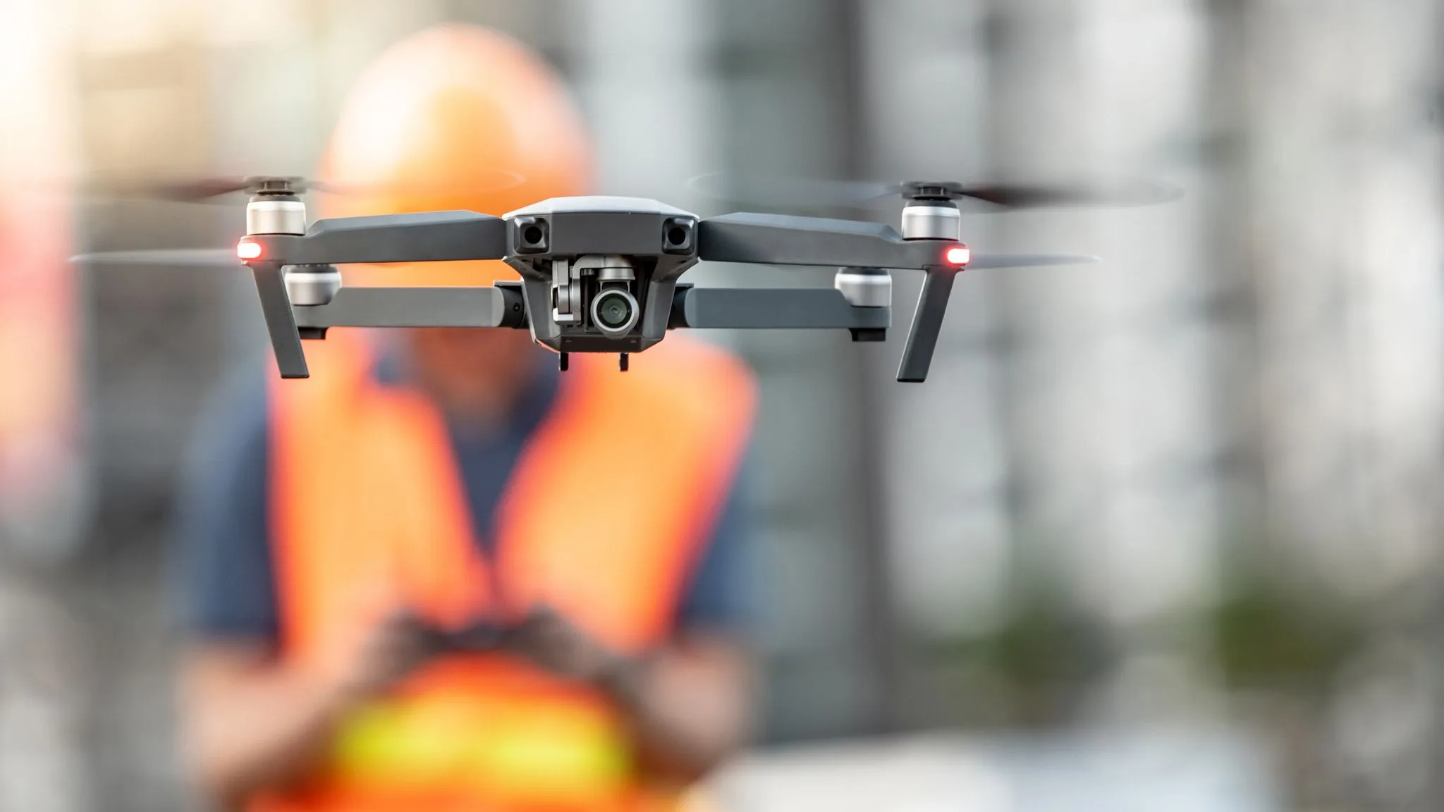
In the construction industry, precision and progress tracking are non-negotiable. Professional drone photography services provide real-time updates, detailed site analyses, and invaluable data for decision-making. From land surveying and monitoring construction phases to conducting safety audits and ensuring compliance, birds eye drone photography empowers owners and project managers to address key concerns like timelines, budgets, and quality control. These aerial insights streamline operations, reduce risks, and keep projects on track.
💡 Pro Tip: Use drones to perform material inventory checks and track site progress, minimizing delays and optimizing workforce efficiency.
3. Agriculture: Cultivating Solutions with Aerial Technology
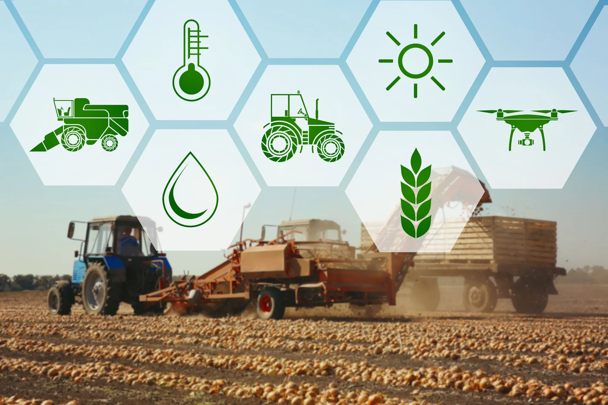
In agriculture, addressing key pain points—like crop health, resource management, and pest control—is essential for success. Professional drone photography services empower farmers to monitor fields with precision, identifying issues such as irrigation inefficiencies, soil erosion, or disease outbreaks before they escalate. With birds eye drone photography, farmers can optimize planting patterns, track growth stages, and reduce input waste, ensuring better yields and sustainability. For California’s agriculture industry, these services provide a critical edge in tackling challenges like labor shortages, rising costs, and environmental regulations.
💡 Pro Tip: Integrate drone photography services in California with data analytics tools to forecast trends and make proactive decisions, saving time and maximizing profits.
Also Read: Why Aerial Drone Inspections Are Faster and More Cost-Effective
4. Tourism and Hospitality: Showcasing Destinations with Aerial Elegance
In the tourism and hospitality industry, standing out in a competitive market requires captivating visuals that tell a story. Professional drone photography services are a game-changer, offering stunning aerial perspectives that highlight the unique features of resorts, local attractions, and event spaces. For stakeholders tackling challenges like seasonal demand, customer engagement, and creating standout marketing campaigns, birds eye drone photography delivers immersive content that connects with audiences. From showcasing California’s scenic vineyards to its breathtaking beaches, these visuals help drive bookings, build brand trust, and enhance visitor experiences.
💡 Pro Tip: Use drone photography services in California to create virtual tours, giving potential visitors a taste of your property or attraction before they arrive, boosting confidence and conversions.
5. Environmental Monitoring: Safeguarding Ecosystems with Aerial Precision
In the environmental industry, addressing challenges like resource depletion, habitat loss, and regulatory compliance is vital to sustainability. Professional drone photography services play a pivotal role in conservation efforts by providing real-time data and actionable insights. With birds eye drone photography, organizations can monitor deforestation, track wildlife populations, assess water quality, and map erosion with unmatched accuracy. These services are especially valuable in California, where diverse ecosystems face increasing pressure from urbanization, climate change, and natural disasters. Drones not only improve efficiency but also reduce the environmental footprint of traditional monitoring methods.
💡 Pro Tip: Use drone photography services in California to create 3D models of vulnerable areas, enabling more effective planning and mitigation strategies to protect ecosystems.
Why Choose Birds Eye Aerial Drones?
At Birds Eye Aerial Drones we use modern technology and strive to be the very best. Our drone photography services in California and beyond cater to industries that demand accuracy, creativity, and reliability. With us, you’ll gain access to high-quality visuals and actionable insights that set you apart from your competition.
Ready to Elevate Your Industry?
The possibilities with drone photography services are limitless. Whether you’re in commercial real estate, agriculture, or tourism, Birds Eye Aerial Drones is here to help you soar to new heights. Let’s transform your vision into reality—one aerial shot at a time.
Contact us today to explore how our birds eye drone photography can empower your business.

